We are in the process of migrating all NASA Earth science data sites into Earthdata from now until end of 2026. Not all NASA Earth science data and resources will appear here until then. Thank you for your patience as we make this transition.
Read about the Web Unification Project
Land Surface News
Articles, resources, and announcements from Land Surface.
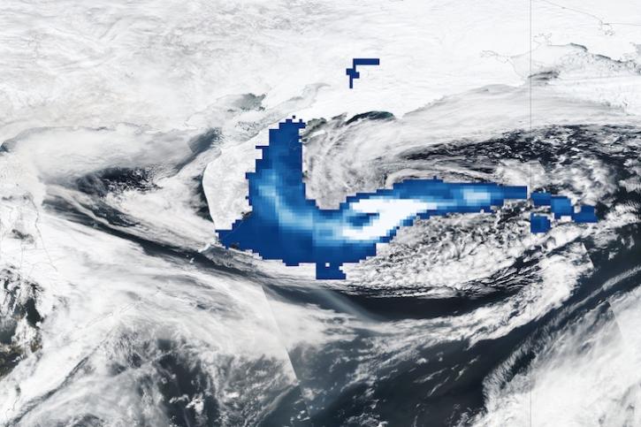
Image captured Apr 12, 2023, by the OMPS and VIIRS instruments aboard the joint NASA/NOAA Suomi NPP satellite.
Worldview Image of the Week
April 13, 2023

Data from NASA’s ORNL DAAC help Dr. Kyla Dahlin better understand how remote sensing can improve predictive ecological models.
Data User Story
Feb. 28, 2023

Dr. Williams aims to use interferometric synthetic aperture radar (InSAR) to determine the speed of every glacier on the planet.
Data User Story
Dec. 1, 2022
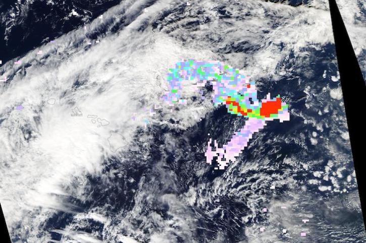
Image captured on Nov 28, 2022, by the MODIS and AIRS instruments aboard the Aqua satellite.
Worldview Image of the Week
Nov. 30, 2022
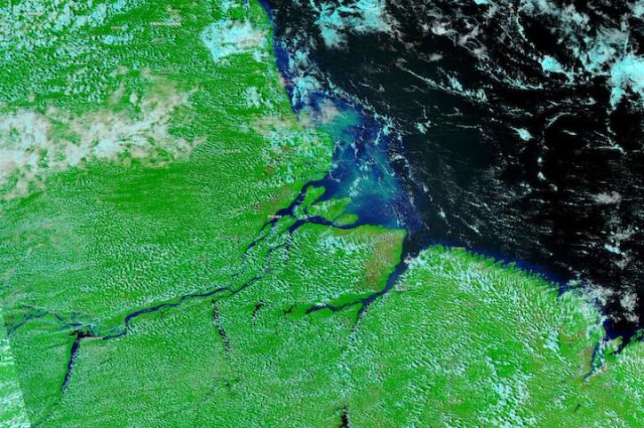
Image captured on Nov 21, 2022, by the VIIRS instrument aboard the joint NASA/NOAA NOAA-20 satellite.
Worldview Image of the Week
Nov. 22, 2022

Image captured on Nov 9, 2022, by the MSI instrument aboard the ESA (European Space Agency) Sentinel-2A and -2B satellites.
Worldview Image of the Week
Nov. 15, 2022
Join the NASA Ice, Cloud and land Elevation Satellite-2 (ICESat-2) Applications Team on Nov 16, 2022, for the ICESat-2 Atmospheric Applications and Forging Multi-mission Solutions Focus Session.
News
Nov. 7, 2022

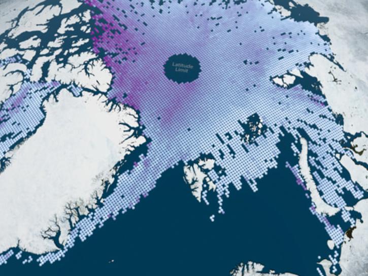
NASA Earth observation data contributed to the discovery of a previously unknown subpopulation of polar bears in Southeast Greenland.
Feature Article
June 23, 2022
SHOWING 8 OF 285