We are in the process of migrating all NASA Earth science data sites into Earthdata from now until end of 2026. Not all NASA Earth science data and resources will appear here until then. Thank you for your patience as we make this transition.
Read about the Web Unification Project
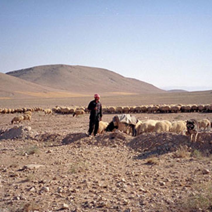
Land Use/Land Cover Classification News
Articles, resources, and announcements from Land Use/Land Cover Classification.

Who uses NASA Earth science data? Dave Johnson, to estimate U.S. crop production.
Data User Story
Dec. 22, 2020

Global composites of 30m resolution Landsat imagery available in Worldview
Feature Article
Nov. 4, 2020

LANCE has started generating NRT daily 8-day rolling datasets following requests from the dust modeling and agricultural monitoring communities.
News
Nov. 4, 2020


Remote sensing and meteorological data help forecast the health of a landscape.
Feature Article
July 23, 2020

A simple tool helps a scientist open the remotely sense world to her students.
Feature Article
July 22, 2020

Scientists use Pathfinder AVHRR (PAL) data to study land cover.
Feature Article
July 22, 2020
Remote estimates of crop yields help international aid agencies decide how to act.
Feature Article
July 21, 2020
SHOWING 8 OF 34