Aeolian Landforms Data Access and Tools

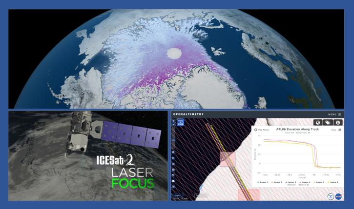
From discovery to visualization, data tools such as OpenAltimetry, Earthdata Search, and Worldview guide users in making the most of aeolian landform data.

Aeolian Landforms Datasets

Filters
Dataset Sort descending Version Platform Instrument Temporal Extent Spatial Extent Spatial Resolution Data Format
Sentinel-1A Single Polarization High Resolution Ground Range Detected Product Metadata 1 Sentinel-1A C-SAR 2014-04-03 to Present

N: 90 S: -90 E: 180 W: -180

Sentinel-1A Single Polarization Medium Resolution Ground Range Detected Product 1 Sentinel-1A C-SAR 2014-04-03 to Present

N: 90 S: -90 E: 180 W: -180

Sentinel-1A Single Polarization Medium Resolution Ground Range Detected Product Metadata 1 Sentinel-1A C-SAR 2014-04-03 to Present

N: 90 S: -90 E: 180 W: -180

Sentinel-1B Dual Polarization High Resolution Ground Range Detected Product 1 Sentinel-1B C-SAR 2016-04-25 to 2021-12-24

N: 90 S: -90 E: 180 W: -180

Sentinel-1B Dual Polarization High Resolution Ground Range Detected Product Metadata 1 Sentinel-1B C-SAR 2016-04-25 to 2021-12-24

N: 90 S: -90 E: 180 W: -180

Sentinel-1B Dual Polarization Medium Resolution Ground Range Detected Product 1 Sentinel-1B C-SAR 2016-04-25 to 2021-12-24

N: 90 S: -90 E: 180 W: -180

Sentinel-1B Dual Polarization Medium Resolution Ground Range Detected Product Metadata 1 Sentinel-1B C-SAR 2016-04-25 to 2021-12-24

N: 90 S: -90 E: 180 W: -180

Sentinel-1B Level 0 Product 1 Sentinel-1B C-SAR 2016-04-25 to 2021-12-24

N: 90 S: -90 E: 180 W: -180

Sentinel-1B Level 0 Product Metadata 1 Sentinel-1B C-SAR 2016-04-25 to 2021-12-24

N: 90 S: -90 E: 180 W: -180

Sentinel-1B Single Look Complex Product 1 Sentinel-1B C-SAR 2016-04-25 to 2021-12-24

N: 90 S: -90 E: 180 W: -180

Sentinel-1B Single Look Complex Product Metadata 1 Sentinel-1B C-SAR 2016-04-25 to 2021-12-24

N: 90 S: -90 E: 180 W: -180

Sentinel-1B Single Polarization High Resolution Ground Range Detected Product 1 Sentinel-1B C-SAR 2016-04-25 to 2021-12-24

N: 90 S: -90 E: 180 W: -180

Sentinel-1B Single Polarization High Resolution Ground Range Detected Product Metadata 1 Sentinel-1B C-SAR 2016-04-25 to 2021-12-24

N: 90 S: -90 E: 180 W: -180

Sentinel-1B Single Polarization Medium Resolution Ground Range Detected Product 1 Sentinel-1B C-SAR 2016-04-25 to 2021-12-24

N: 90 S: -90 E: 180 W: -180

Sentinel-1B Single Polarization Medium Resolution Ground Range Detected Product Metadata 1 Sentinel-1B C-SAR 2016-04-25 to 2021-12-24

N: 90 S: -90 E: 180 W: -180

Aeolian Landforms Data Tools

No Results

Get Help

QUESTIONS & SUPPORT

Have a question?

Get help with NASA Earth science data, datasets, tools, services, and metadata on the Earthdata Forum. Experienced staff in the data user community review and answer questions.

Get help on Earthdata Forum
Earthdata
Forum