We are in the process of migrating all NASA Earth science data sites into Earthdata from now until end of 2026. Not all NASA Earth science data and resources will appear here until then. Thank you for your patience as we make this transition.
Read about the Web Unification Project
Tropical Cyclones News
Articles, resources, and announcements from Tropical Cyclones.
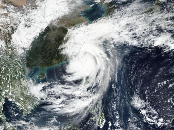
Image captured on Oct 31, 2024, by the VIIRS instrument aboard the joint NASA/NOAA Suomi NPP platform.
Worldview Image of the Week
Oct. 31, 2024

Sentinel-1 synthetic aperture radar (SAR) data are used to create maps of surface water extent for research, planning, and disaster response.
News
Oct. 28, 2024
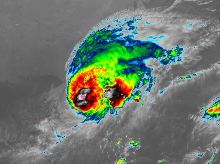
Image captured on Oct 10, 2024, at 8:00 p.m., EDT [00:00 UTC], by the Advanced Baseline Imager (ABI) instrument aboard the GOES-East platform.
Worldview Image of the Week
Oct. 10, 2024
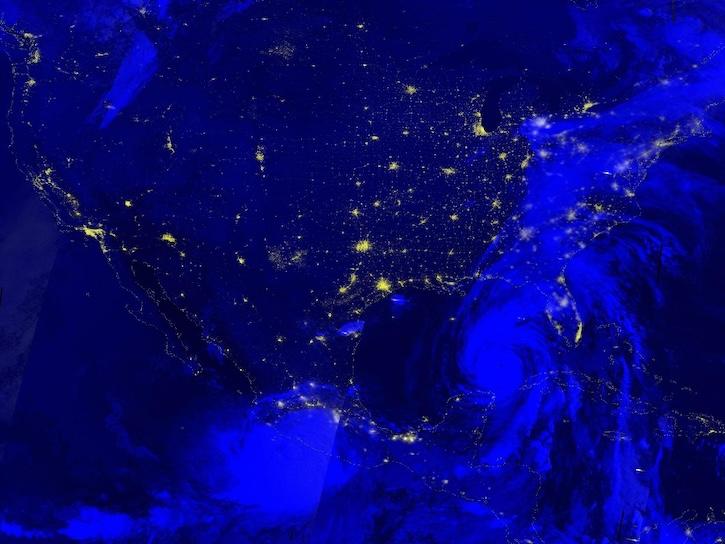
Image captured Sep 26, 2024, by the VIIRS instrument aboard the joint NASA/NOAA NOAA-20 platform.
Worldview Image of the Week
Sept. 26, 2024
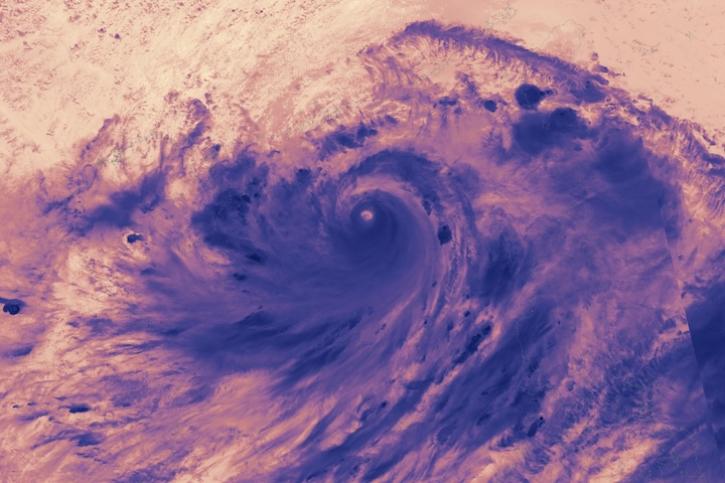
Image captured on Sep 5, 2024, by the VIIRS instrument aboard the joint NASA/NOAA NOAA-21 satellite.
Worldview Image of the Week
Sept. 5, 2024
Image captured on July 9, 2024, by the VIIRS instrument aboard the joint NASA/NOAA NOAA-20 satellite.
Worldview Image of the Week
July 11, 2024
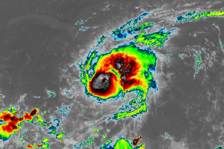
Image captured on July 3, 2024, at 7:00 a.m. EDT [11:00 UTC], by the ABI instrument aboard the GOES-East satellite.
Worldview Image of the Week
July 3, 2024

Data from NASA’s Land, Atmosphere Near real-time Capability for Earth observations (LANCE) are critical to the Navy’s tropical cyclone forecasts.
Data User Story
July 1, 2024
SHOWING 8 OF 154