We are in the process of migrating all NASA Earth science data sites into Earthdata from now until end of 2026. Not all NASA Earth science data and resources will appear here until then. Thank you for your patience as we make this transition.
Read about the Web Unification Project
Natural Hazards News
Articles, resources, and announcements from Natural Hazards.
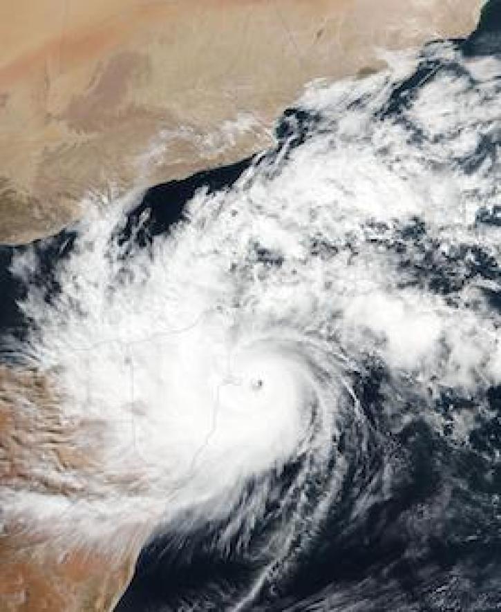
Image captured on 22 November 2020, by the VIIRS instrument, aboard the joint NASA/NOAA Suomi NPP satellite.
Worldview Image of the Week
Nov. 30, 2020

Image captured on 15 November 2020, by the VIIRS instrument, aboard the joint NASA/NOAA NOAA-20 satellite.
Worldview Image of the Week
Nov. 23, 2020

With our latest release, version 3.8.2, vector capabilities have been extended to the Fire and Thermal Anomalies layers.
Blog
Nov. 13, 2020

Image of Precipitation Rate on 1 November 2020 from IMERG.
Worldview Image of the Week
Nov. 9, 2020
VIIRS I-band (375 m) Active Fire and Corrected Reflectance products are the newest near real-time products available through LANCE.
News
Nov. 4, 2020
Two NASA GIBS-based projects are Global Winners in the 2016 NASA Space Apps Challenge
News
Nov. 4, 2020

Explore and download data and imagery from EOSDIS for the the Nepalese region affected by the earthquake on April 25, 2015 and aftershocks.
Feature Article
Nov. 4, 2020

Determining risk from a wide range of natural hazards is only a mouse click away thanks to SEDAC's Hazards Mapper application.
Feature Article
Nov. 4, 2020
SHOWING 8 OF 521