We are in the process of migrating all NASA Earth science data sites into Earthdata from now until end of 2026. Not all NASA Earth science data and resources will appear here until then. Thank you for your patience as we make this transition.
Read about the Web Unification Project
Natural Hazards News
Articles, resources, and announcements from Natural Hazards.

Who uses NASA Earth science data? Katherine Pitts, to study the impacts of climate change and analyze remotely-sensed geophysical data.
Data User Story
Dec. 22, 2020

Who uses NASA Earth science data? Dr. Nancy French, to study the effects of wildfires on forest ecosystems.
Data User Story
Dec. 22, 2020

Who uses NASA Earth science data? Dr. Mike Ramsey, for developing new ways to study active volcanoes and to provide data to support emergency response.
Data User Story
Dec. 22, 2020
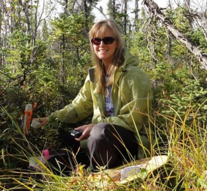
Who uses NASA Earth science data? Dr. Laura Bourgeau-Chavez, for studying wetlands and wildfire.
Data User Story
Dec. 22, 2020

More than half of Earth’s population lives in urban environments. NASA Earth science data help Dr. Kristy Tiampo explore the hazards that can impact these areas.
Data User Story
Dec. 22, 2020

Who uses NASA Earth science data? David Mocko, for using land-surface models to study drought.
Data User Story
Dec. 22, 2020
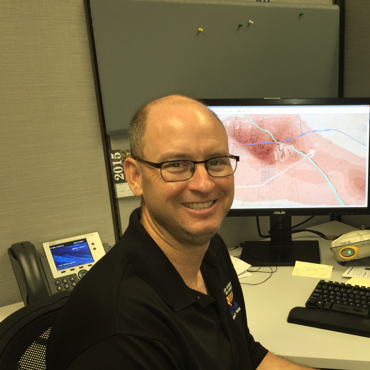
Who uses NASA Earth science data? Brian Conway, to monitor land subsidence and the impacts of this on Arizona’s water resources.
Data User Story
Dec. 21, 2020

Image captured on 13 and 14 December 2020, by the MODIS instrument, aboard the Aqua satellite.
Worldview Image of the Week
Dec. 21, 2020
SHOWING 8 OF 521