We are in the process of migrating all NASA Earth science data sites into Earthdata from now until end of 2026. Not all NASA Earth science data and resources will appear here until then. Thank you for your patience as we make this transition.
Read about the Web Unification Project
Natural Hazards News
Articles, resources, and announcements from Natural Hazards.
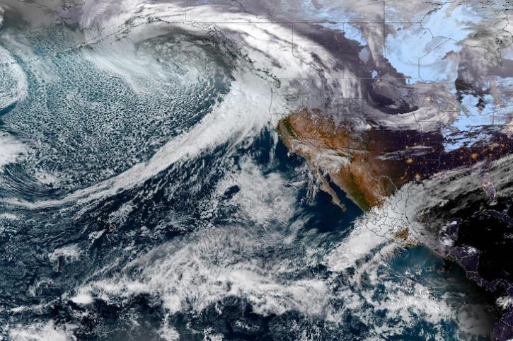
Image captured on Dec 4, 2023, by the ABI instrument aboard the GOES-West satellite.
Worldview Image of the Week
Dec. 7, 2023
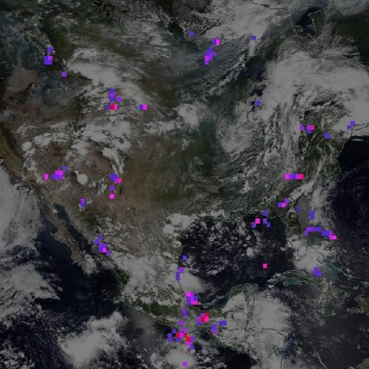
The Lightning Imaging Sensor measured the amount, rate, and radiant energy of lightning around the globe both day and night.
Feature Article
Nov. 13, 2023

Image captured on Nov 4, 2023, by the MSI instrument aboard the ESA (European Space Agency) Sentinel-2A and -2B satellites.
Worldview Image of the Week
Nov. 9, 2023
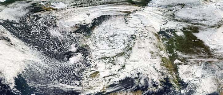
Image captured on Nov 2, 2023, by the MODIS instrument aboard NASA's Aqua satellite.
Worldview Image of the Week
Nov. 2, 2023
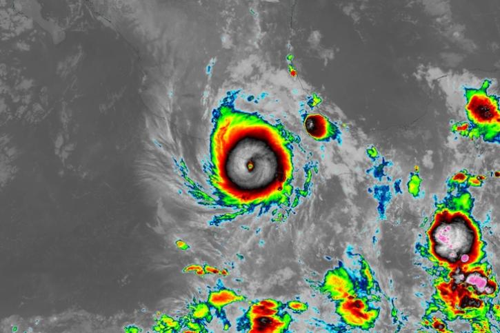
Image captured on Oct 25, 2023, at 1:20 a.m., EST [5:20 UTC], by the ABI instrument aboard the GOES-East satellite.
Worldview Image of the Week
Oct. 26, 2023

Image captured on Oct 9, 2023, by the MSI instrument aboard the ESA (European Space Agency) Sentinel-2A and -2B satellites.
Worldview Image of the Week
Oct. 12, 2023

Image captured on Oct 4, 2023, by the VIIRS instrument aboard the joint NASA/NOAA Suomi NPP satellite.
Worldview Image of the Week
Oct. 5, 2023

Base image acquired Sep 27, 2023, by the VIIRS instrument aboard the joint NASA/NOAA Suomi NPP satellite and overlaid with Aerosol Index values from the OMPS instrument.
Worldview Image of the Week
Sept. 28, 2023
SHOWING 8 OF 531