Delivery of Suomi National Polar-orbiting Partnership (Suomi NPP) satellite data products will cease on November 1, 2026. Data users should transition now to alternative products from NOAA-21 and NOAA-20.
Suomi NPP data announcement
Natural Hazards News
Articles, resources, and announcements from Natural Hazards.

Base image, overlaid with flood information captured on December 23, 2025, by the VIIRS instrument aboard the NOAA-20 platform.
Worldview Image of the Week
Dec. 26, 2025
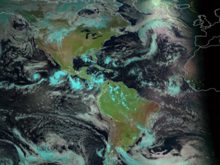
The Geostationary Ring Natural Color RGB imagery layer is an additional option for users to visualize the progression of wildfires and their effects throughout the day.
Blog
Dec. 11, 2025

Image captured on November 23, 2025, by the MODIS instrument aboard the Aqua platform.
Worldview Image of the Week
Dec. 5, 2025
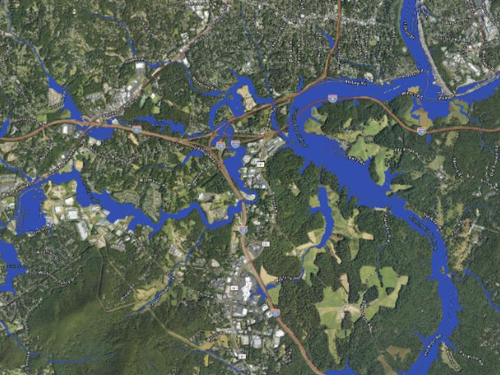
Researchers used the Emergency Environmental Health Dashboard, which leverages NASA's record of satellite imagery, to assess post-storm impacts to water systems and private wells.
News
Nov. 18, 2025
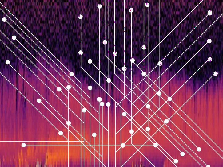
Users can now generate on-demand interferograms for more than a million ARIA-S1-GUNW products.
News
Nov. 14, 2025

Image captured November 13, 2025, by the VIIRS instrument aboard the joint NASA/NOAA NOAA-21 platform.
Worldview Image of the Week
Nov. 13, 2025
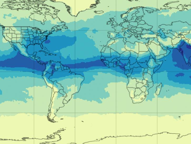
NASA's AIRS instrument provides information about precipitable water vapor, a key variable in determining the potential strength of hurricanes and tropical cyclones.
Blog
Sept. 30, 2025

Image captured September 24, 2025, by the VIIRS instrument aboard the joint NASA/NOAA NOAA-21 platform.
Worldview Image of the Week
Sept. 25, 2025
SHOWING 8 OF 543