Delivery of Suomi National Polar-orbiting Partnership (Suomi NPP) satellite data products will cease on November 1, 2026. Data users should transition now to alternative products from NOAA-21 and NOAA-20.
Suomi NPP data announcement
Natural Hazards News
Articles, resources, and announcements from Natural Hazards.

Data from NASA’s ASF DAAC helps scientists like Dr. Zhong Lu develop satellite radar remote-sensing techniques for studying geohazards.
Data User Story
July 28, 2022

Image captured on Jul 26, 2022 by the MODIS instrument aboard the Aqua satellite.
Worldview Image of the Week
July 26, 2022
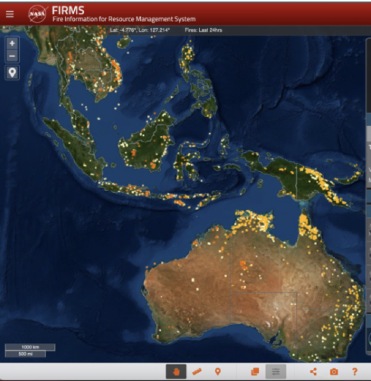
Learn how to change the colors of the fires/thermal anomalies, change the fire pixel size, show only day or night detections, and color code fires by fire radiative power, confidence, or time since detection.
Blog
July 24, 2022

Scientists develop routine service for wildfire detection in the continental United States with a latency of less than 60 seconds.
Feature Article
July 20, 2022

Image captured on Jul 19, 2022, by the MODIS instrument aboard the Aqua satellite.
Worldview Image of the Week
July 19, 2022
FIRMS recently integrated ultra real-time MODIS and VIIRS active fire data from multiple direct readout ground stations in the continental United States.
Blog
July 14, 2022

FIRMS fire map users now have the option of capturing a map view as a GeoTIFF image file.
Blog
July 13, 2022
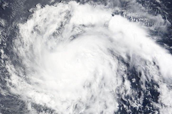
Image captured on Jul 11, 2022 by the MODIS instrument aboard the Terra satellite.
Worldview Image of the Week
July 11, 2022
SHOWING 8 OF 543