Delivery of Suomi National Polar-orbiting Partnership (Suomi NPP) satellite data products will cease on November 1, 2026. Data users should transition now to alternative products from NOAA-21 and NOAA-20.
Suomi NPP data announcement
Natural Hazards News
Articles, resources, and announcements from Natural Hazards.

Sentinel-1 synthetic aperture radar (SAR) data are used to create maps of surface water extent for research, planning, and disaster response.
News
Oct. 28, 2024
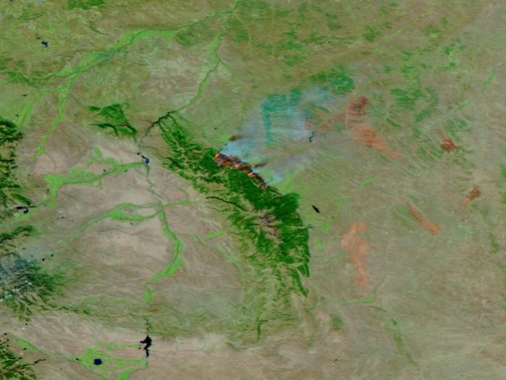
This image of the Elk Fire in Wyoming was captured on Oct 16, 2024, by the VIIRS instrument aboard the joint NASA/NOAA NOAA-21 platform.
Worldview Image of the Week
Oct. 17, 2024
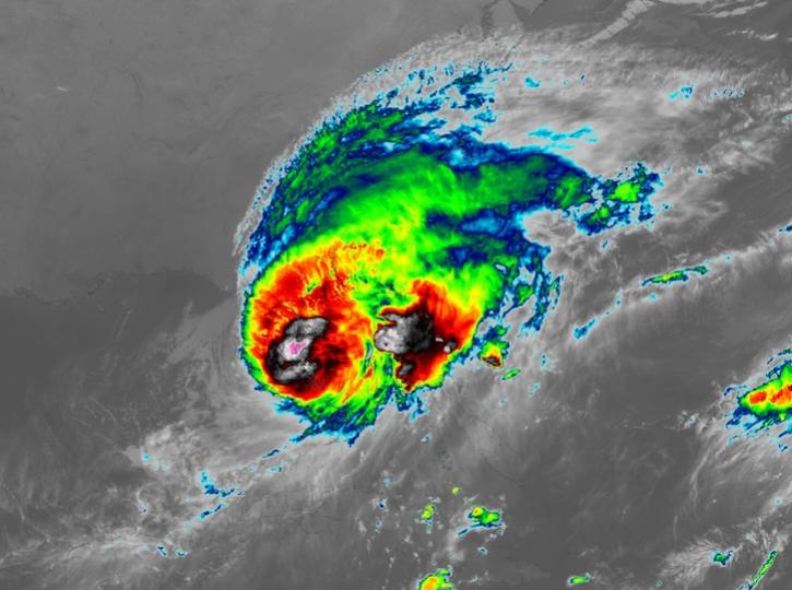
Image captured on Oct 10, 2024, at 8:00 p.m., EDT [00:00 UTC], by the Advanced Baseline Imager (ABI) instrument aboard the GOES-East platform.
Worldview Image of the Week
Oct. 10, 2024
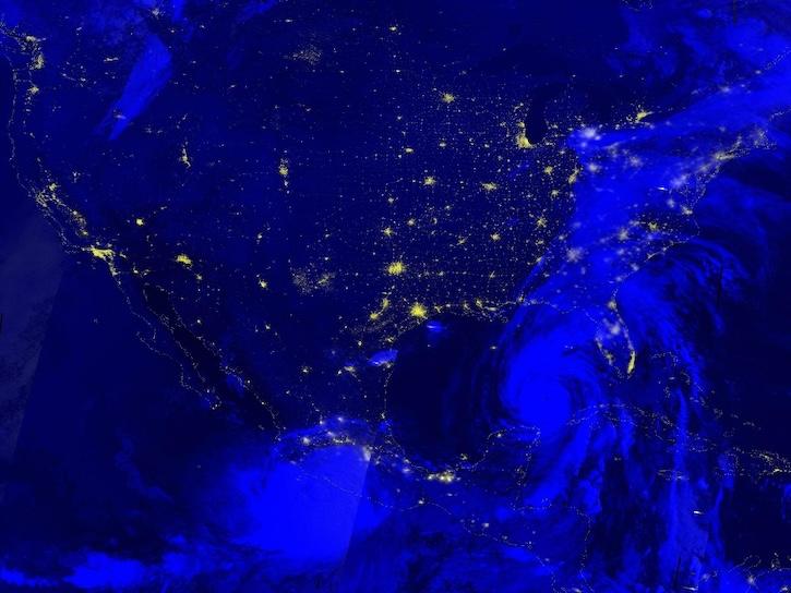
Image captured Sep 26, 2024, by the VIIRS instrument aboard the joint NASA/NOAA NOAA-20 platform.
Worldview Image of the Week
Sept. 26, 2024
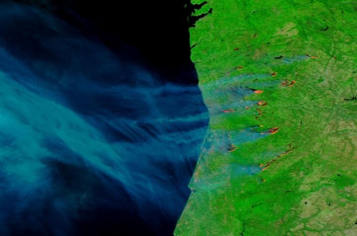
Image captured on Sep 17, 2024, by the VIIRS instrument aboard the joint NASA/NOAA NOAA-20 satellite.
Worldview Image of the Week
Sept. 19, 2024

Image captured on Sep 10, 2024, by the VIIRS instrument aboard the joint NASA/NOAA NOAA-20 satellite.
Worldview Image of the Week
Sept. 13, 2024
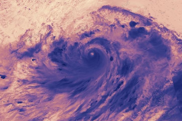
Image captured on Sep 5, 2024, by the VIIRS instrument aboard the joint NASA/NOAA NOAA-21 satellite.
Worldview Image of the Week
Sept. 5, 2024
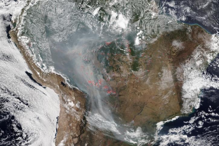
Image captured on Aug 28, 2024, by the VIIRS instrument aboard the joint NASA/NOAA NOAA-20 satellite.
Worldview Image of the Week
Aug. 29, 2024
SHOWING 8 OF 543