We are in the process of migrating all NASA Earth science data sites into Earthdata from now until end of 2026. Not all NASA Earth science data and resources will appear here until then. Thank you for your patience as we make this transition.
Read about the Web Unification Project
Natural Hazards Learning Resources
Webinars, tutorials, data recipes and more to help you work with Natural Hazards.
Filters

Join us for an interactive overview of tools and resources at NASA's Global Hydrometeorology Resource Center DAAC for accessing data related to hazardous weather, its governing dynamical and physical processes, and associated applications.
Webinar
April 19, 2022

During this webinar we will provide an overview of TRMM and GPM precipitation data products and discuss the various ways to discover and access these data. We will also demonstrate the visualization and analysis tools and services provided by NASA's Goddard Earth Science Data and Information Services Center (GES DISC).
Webinar
April 18, 2022
Join us on Wednesday, 24 February 2016, 2-3pm to learn how the new Field Campaign Explorer tool serves up mission flight information, instrument status, weather reports, and summary statistics in support of field campaign science data.
Webinar
April 14, 2022

Read highlights of three publications that detail how NASA Earth observation data are used to map wildfire fuel loads, analyze volcanic ash composition, and improve soil respiration models in agricultural systems.
Data in Action
March 15, 2022
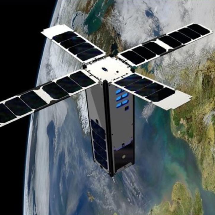
This webinar will provide an introduction to the SeaHawk/HawkEye CubeSat ocean color mission, show you how to discover, access, and work with SeaHawk data, and walk participants through the process of requesting image scheduling for regions of interest.
Webinar
Feb. 1, 2022
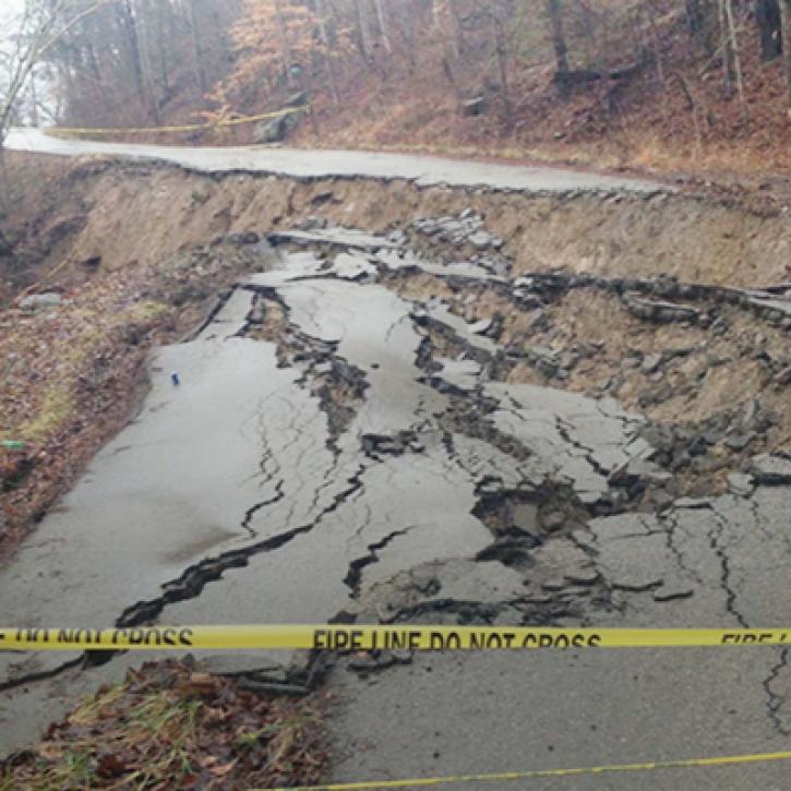
Machine Learning and Remote Sensing Show Where and When Landslides are Most Likely
StoryMap
Feb. 1, 2022
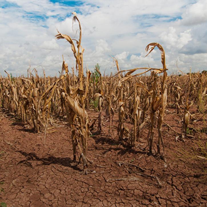
Propagation and Impacts of Great Plains Drought Captured by NASA Models and Datasets
StoryMap
Feb. 1, 2022
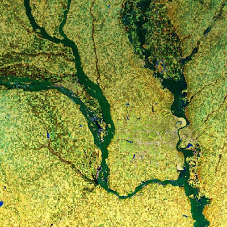
NASA Models and Remote Sensing Datasets Capture Cascading Impacts on Midwest Farmers
StoryMap
Feb. 1, 2022
SHOWING 8 OF 154
Frequently Asked Questions
Earthdata Forum
Our online forum provides a space for users to browse thousands of FAQs about research needs, data, and data applications. You can also submit new questions for our experts to answer.
Submit Questions to Earthdata Forumand View Expert Responses