We are in the process of migrating all NASA Earth science data sites into Earthdata from now until end of 2026. Not all NASA Earth science data and resources will appear here until then. Thank you for your patience as we make this transition.
Read about the Web Unification Project
Industrial Emissions Learning Resources
Webinars, tutorials, data recipes and more to help you work with Industrial Emissions.
Filters

Esta capacitación de ARSET cubre mediciones de CO₂ atmosférico desde el espacio con las misiones OCO-2 y OCO-3.
Training
May 24 - June 2, 2022

This ARSET training introduces bottom-up and top-down methods for tracking emissions and removals of carbon dioxide and methane from the atmosphere.
Training
May 11-25, 2022
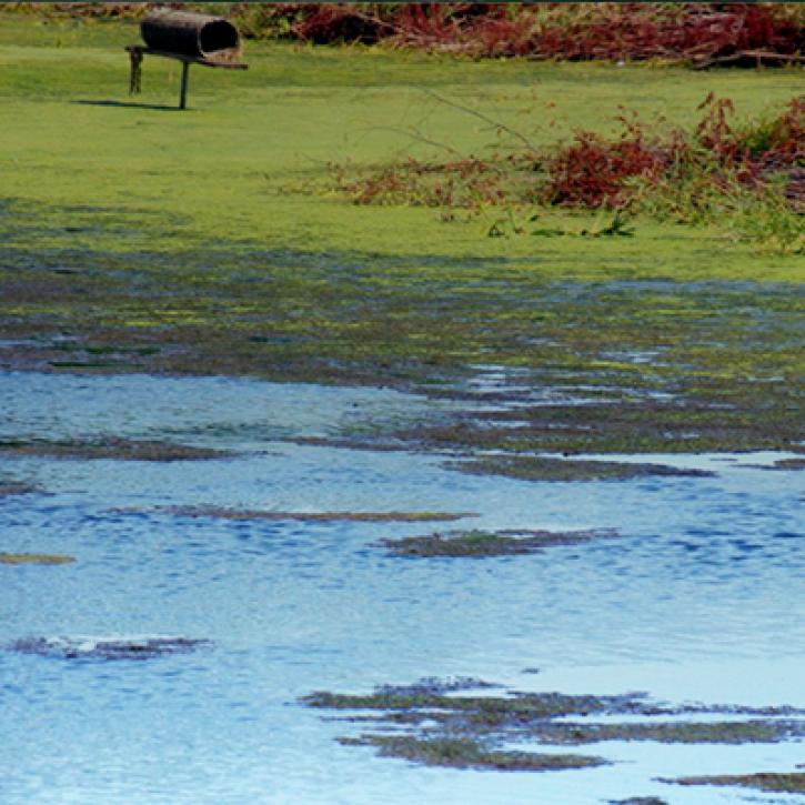
NASA Land Surface Models Capture Water Quality Trends in the Upper Mississippi Basin
StoryMap
Feb. 1, 2022

Learn how MODIS data helped researchers assess the impact of pandemic-triggered lockdowns on air pollution in India.
Data in Action
Jan. 4, 2021

This ARSET training is tailored to those interested in learning how to access and visualize NASA satellite imagery.
Training
May 26-28, 2020
Esta capacitación de ARSET ha sido adaptada para quienes se interesan por aprender cómo acceder y visualizar imágenes de satélites de la NASA.
Training
May 26-28, 2020

This ARSET training covers how to access and analyze TROPOMI data as well as its applications.
Training
May 28 - June 3, 2019

This ARSET training introduces satellites with a high temporal resolution for air quality applications.
Training
Sept. 4-25, 2018
SHOWING 8 OF 17
Frequently Asked Questions
Earthdata Forum
Our online forum provides a space for users to browse thousands of FAQs about research needs, data, and data applications. You can also submit new questions for our experts to answer.
Submit Questions to Earthdata Forumand View Expert Responses