We are in the process of migrating all NASA Earth science data sites into Earthdata from now until end of 2026. Not all NASA Earth science data and resources will appear here until then. Thank you for your patience as we make this transition.
Read about the Web Unification Project
Environmental Health Factors Learning Resources
Webinars, tutorials, data recipes and more to help you work with Environmental Health Factors.
Filters

This ARSET training covers the use of remote sensing in determining and explaining urban heat islands, and ways to mitigate the effects.
Training
Nov. 10-24, 2020

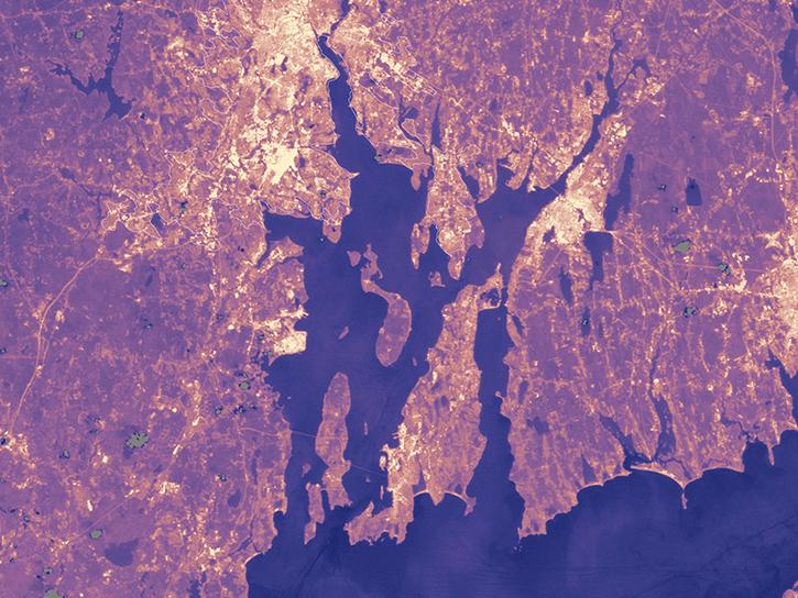
This ARSET training is tailored to those interested in learning how to access and visualize NASA satellite imagery.
Training
May 26-28, 2020
Esta capacitación de ARSET ha sido adaptada para quienes se interesan por aprender cómo acceder y visualizar imágenes de satélites de la NASA.
Training
May 26-28, 2020

This ARSET training covers how to access and analyze TROPOMI data as well as its applications.
Training
May 28 - June 3, 2019

This ARSET training introduces satellites with a high temporal resolution for air quality applications.
Training
Sept. 4-25, 2018

This ARSET training teaches how to use Python scripts to map and analyze air quality data through hands-on exercises.
Training
Jan. 17-22, 2018

This ARSET training covers how to use remote sensing to identify impaired water quality from harmful algal blooms.
Training
Sept. 5-26, 2017
Population data from the Gridded Population of the World (GPW) project and land surface temperature data from MODIS show that higher UN-adjusted population density correlates with higher Urban Heat Island temperatures.
Data in Action
Aug. 4, 2017
SHOWING 8 OF 19
Frequently Asked Questions
Earthdata Forum
Our online forum provides a space for users to browse thousands of FAQs about research needs, data, and data applications. You can also submit new questions for our experts to answer.
Submit Questions to Earthdata Forumand View Expert Responses