We are in the process of migrating all NASA Earth science data sites into Earthdata from now until end of 2026. Not all NASA Earth science data and resources will appear here until then. Thank you for your patience as we make this transition.
Read about the Web Unification Project
Droughts News
Articles, resources, and announcements from Droughts.
Three new global data sets released by NASA’s Land Information System (LIS) will aid in land surface analysis and support famine and drought assessment.
News
Nov. 4, 2020
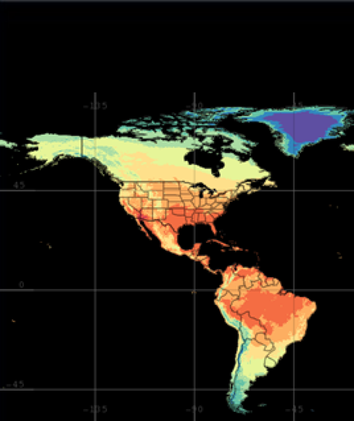
Each year, several hundred million tons of African dust are transported westward over the Atlantic to the Caribbean, Central America, and South America.
Feature Article
July 28, 2020

A researcher pushes the limits of radar data to monitor small rice fields in the Philippines.
Feature Article
July 28, 2020

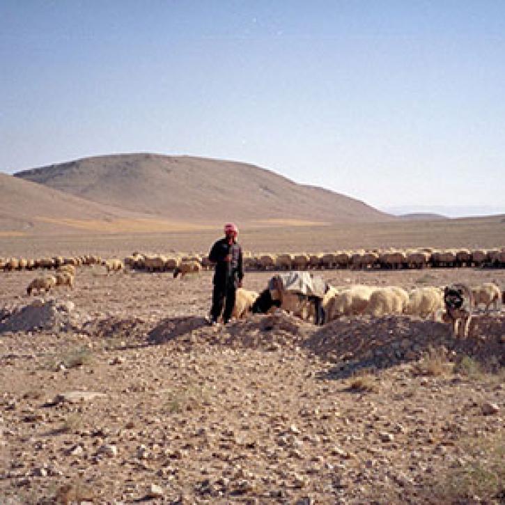
Scientists use geospatial analysis to identify pockets of hunger and the geographic and physical causes of hunger.
Feature Article
July 28, 2020
Remote estimates of crop yields help international aid agencies decide how to act.
Feature Article
July 21, 2020

SHOWING 6 OF 22