Sea Ice Data Access and Tools
NASA has sea ice datasets that help researchers characterize the presence and extent of ice in the ocean. Access a range of data and data tools such as AppEEARS, Worldview, and Giovanni to make the most of sea ice data.
Sea Ice Datasets
| Dataset Sort descending | Version | Platforms | Instruments | Temporal Extent | Spatial Extent | Spatial Resolution | Data Format |
|---|---|---|---|---|---|---|---|
| ALOS PALSAR High Resolution Radiometric Terrain Corrected Product | 1 | ALOS | PALSAR | 2006-03-23 to 2011-04-22 |
N: 90 S: -90 E: 180 W: -180 |
||
| ALOS PALSAR Level 1.0 Product | 1 | ALOS | PALSAR | 2006-03-23 to 2011-04-22 |
N: 90 S: -90 E: 180 W: -180 |
||
| ALOS PALSAR Level 1.1 Product | 1 | ALOS | PALSAR | 2006-01-23 to 2011-05-23 |
N: 90 S: -90 E: 180 W: -180 |
||
| ALOS PALSAR Level 1.5 Product | 1 | ALOS | PALSAR | 2006-03-23 to 2011-04-22 |
N: 90 S: -90 E: 180 W: -180 |
||
| ALOS PALSAR Low Resolution Radiometric Terrain Corrected Product | 1 | ALOS | PALSAR | 2006-03-23 to 2011-04-22 |
N: 90 S: -90 E: 180 W: -180 |
||
| ALOS-2 PALSAR-2 Level 1 ScanSAR Product | 1 | ALOS-2 | PALSAR-2 | 2014-08-01 to Present |
N: 90 S: -90 E: 180 W: -180 |
ZIP | |
| ALOS_PALSAR_KMZ | 1 | ALOS | PALSAR | 2006-03-23 to 2011-04-22 |
N: 90 S: -90 E: 180 W: -180 |
||
| ALOS_PALSAR_LEVEL2.2 | 1 | ALOS | PALSAR | 2006-01-23 to 2011-05-23 |
N: 90 S: -90 E: 180 W: -180 |
||
| AMSR-E/AMSR2 Unified L3 Daily 12.5 km Brightness Temperatures, Sea Ice Concentration, Motion & Snow Depth Polar Grids V001 | 1 | Aqua, GCOM-W1 | AMSR-E, AMSR2 | 2002-06-01 to 2011-10-04, 2012-07-02 to Present |
N: -39.23 S: -89.24 E: 180 W: -180 N: 89.24 S: 30.98 E: 180 W: -180 |
12.5 Kilometers x 12.5 Kilometers | HDF-EOS5, ASCII |
| AMSR-E/AMSR2 Unified L3 Daily 25 km Brightness Temperatures & Sea Ice Concentration Polar Grids V001 | 1 | Aqua, GCOM-W1 | AMSR-E, AMSR2 | 2002-06-01 to 2011-10-04, 2012-07-02 to Present |
N: 89.24 S: 30.98 E: 180 W: -180 N: -39.23 S: -89.24 E: 180 W: -180 |
25 Kilometers x 25 Kilometers | HDF-EOS5 |
Sea Ice Data Tools
| Tool Sort descending | Description | Services | |
|---|---|---|---|
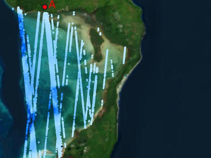
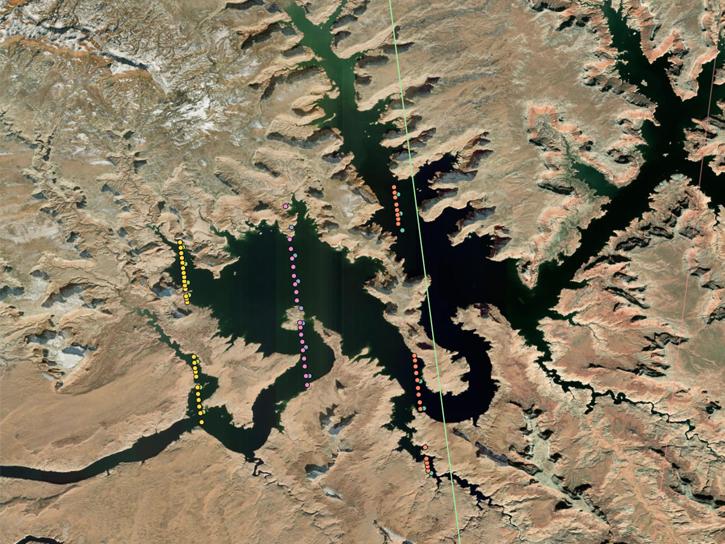
| OpenAltimetry | OpenAltimetry is a map-based visualization tool for exploring surface elevation data across Earth over time. | Analysis, Search and Discovery, Visualization |
Frequently Asked Questions
Earthdata Forum
Our online forum provides a space for users to browse thousands of FAQs about research needs, data, and data applications. You can also submit new questions for our experts to answer.
Submit Questions to Earthdata Forumand View Expert Responses


