We are in the process of migrating all NASA Earth science data sites into Earthdata from now until end of 2026. Not all NASA Earth science data and resources will appear here until then. Thank you for your patience as we make this transition.
Read about the Web Unification Project
Ice Extent News
Articles, resources, and announcements from Ice Extent.
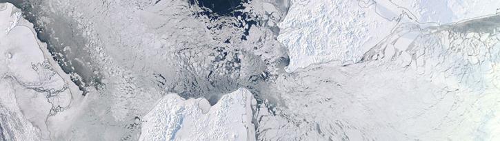
Image captured on 4 February 2018, by the MODIS instrument, aboard NASA's Terra satellite.
Worldview Image of the Week
Sept. 11, 2020

By the end of the 2002 season, the total area of surface melt on the Greenland Ice Sheet had broken all known records.
Feature Article
July 28, 2020
Polar research operations depend largely on local weather conditions and the fortitude of both scientists and accompanying research equipment.
Feature Article
July 28, 2020
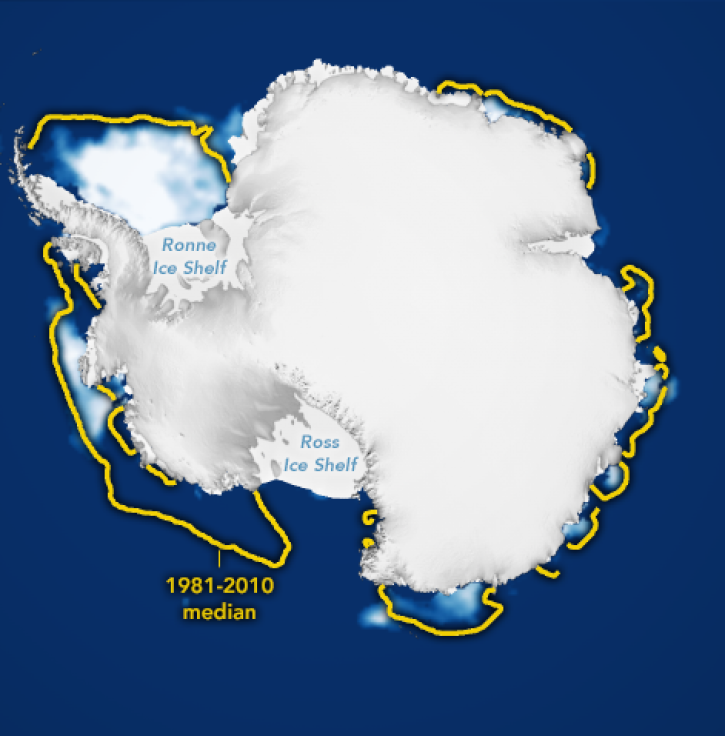
Researchers use averaged ice concentrations to estimate sea ice cover.
Feature Article
July 23, 2020
SAR and in situ data help model convection-driven ice-edge retreat causing growth of Nordbukta.
Feature Article
July 22, 2020

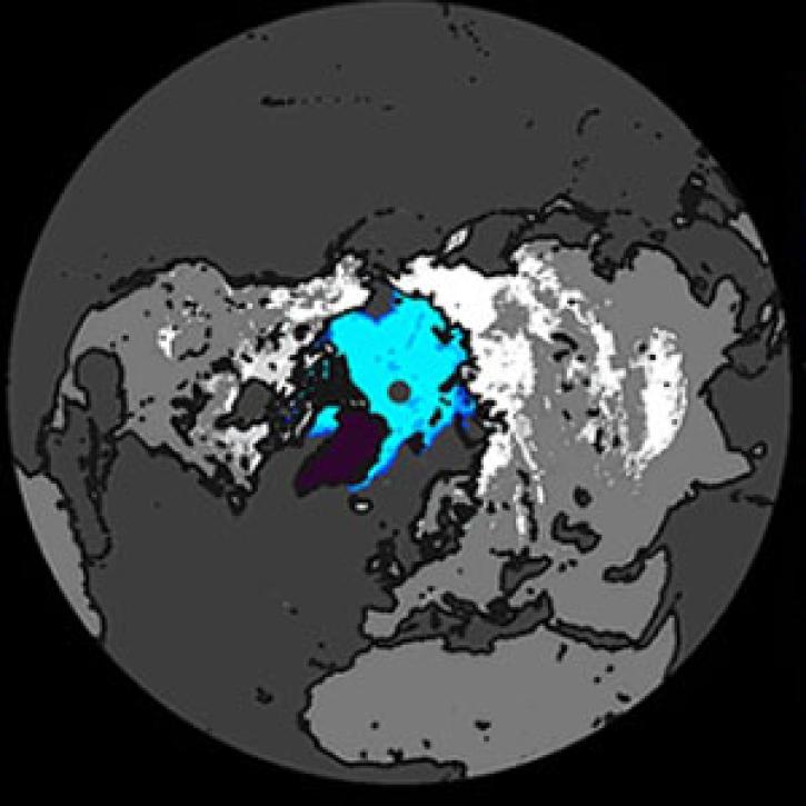
Extent of Arctic sea ice is seen as a sensitive indicator of climate change.
Feature Article
July 21, 2020
SHOWING 6 OF 14