We are in the process of migrating all NASA Earth science data sites into Earthdata from now until end of 2026. Not all NASA Earth science data and resources will appear here until then. Thank you for your patience as we make this transition.
Read about the Web Unification Project
Vegetation Index News
Articles, resources, and announcements from Vegetation Index.
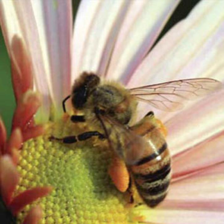
Honeybees signal a worrisome trend in plant-pollinator relationships.
Feature Article
Dec. 27, 2020
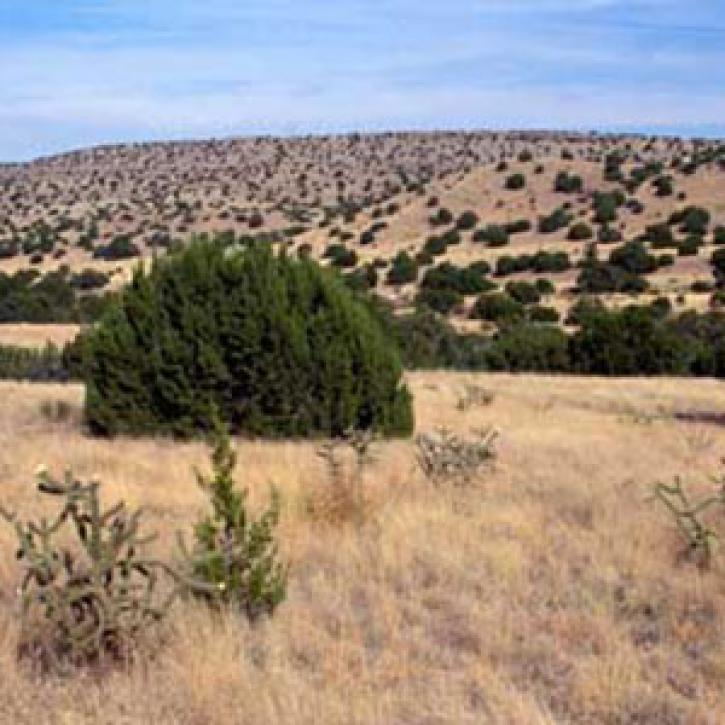
People and heat spread north into Arctic permafrost.
Feature Article
Dec. 27, 2020

Who Uses NASA Earth Science Data? Kevin Gallo, to improve radar and satellite estimations of hail size and damage.
Data User Story
Dec. 22, 2020
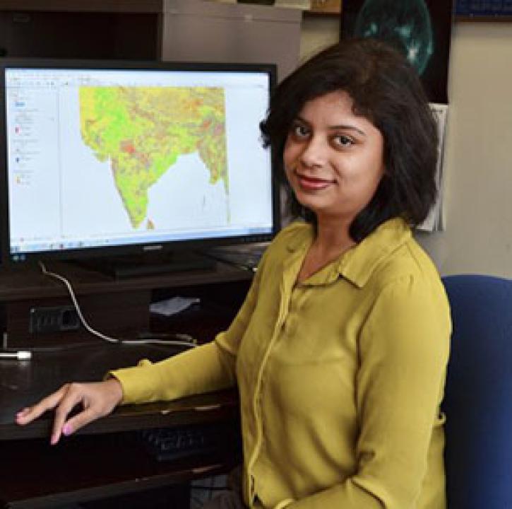
Who uses NASA Earth science data? Dr. Pinki Mondal, to study the effects of climate change on agricultural systems and communities.
Data User Story
Dec. 22, 2020

Who uses NASA Earth science data? Dr. Michael Dietze, to improve ecological models through the integration of remotely-sensed data.
Data User Story
Dec. 22, 2020

Who uses NASA Earth science data? David Mocko, for using land-surface models to study drought.
Data User Story
Dec. 22, 2020

Who uses NASA Earth science data? Dave Johnson, to estimate U.S. crop production.
Data User Story
Dec. 22, 2020
SHOWING 8 OF 46