We are in the process of migrating all NASA Earth science data sites into Earthdata from now until end of 2026. Not all NASA Earth science data and resources will appear here until then. Thank you for your patience as we make this transition.
Read about the Web Unification Project
Anthropogenic/Human Influenced Ecosystems News
Articles, resources, and announcements from Anthropogenic/Human Influenced Ecosystems.
New research uses 3D lidar profiles of Earth's surface to map where corn is being grown.
Feature Article
May 18, 2022

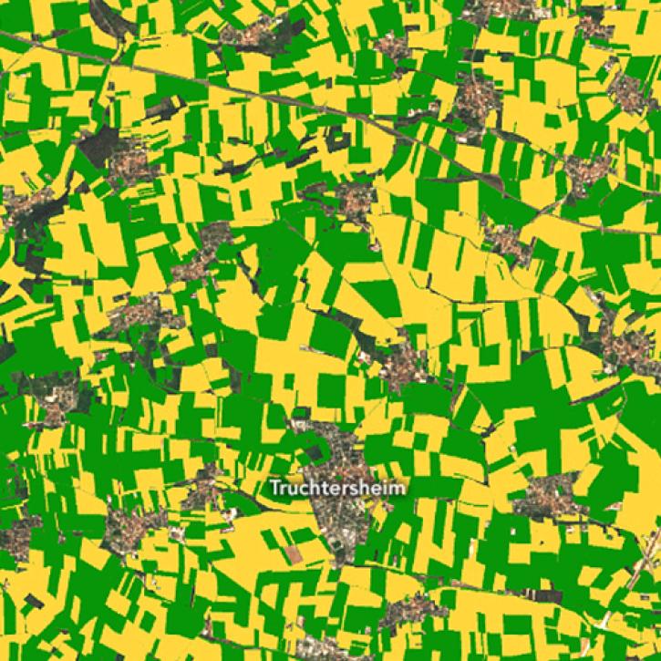
Image captured on Feb 12, 2022, by the MSI instrument, aboard ESA's Sentinel-2A and -2B satellites.
Worldview Image of the Week
May 18, 2022
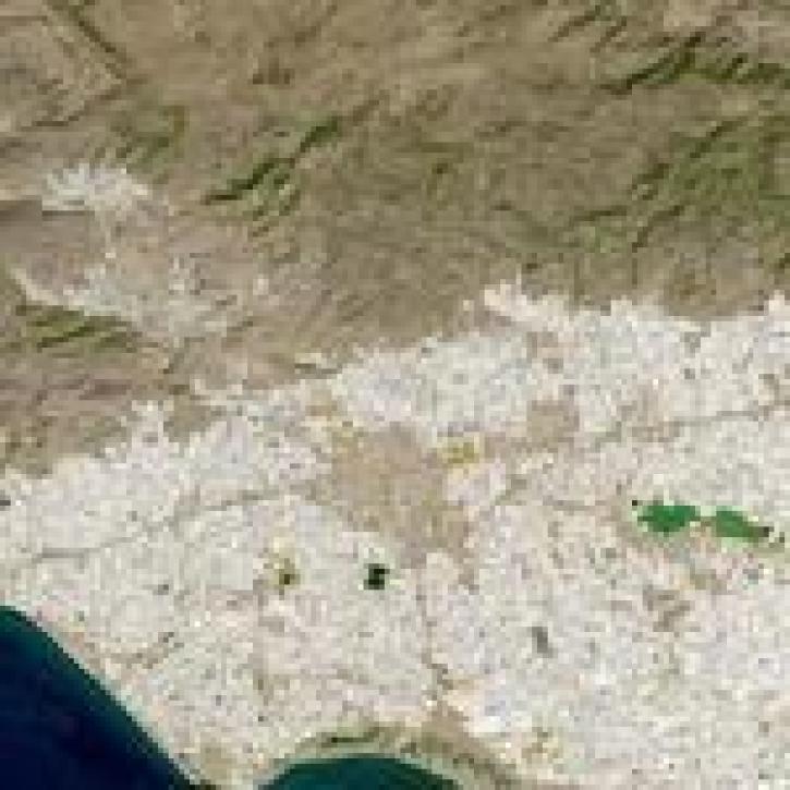
Image captured on 18 September 2021 by the OLI instrument aboard the Landsat 8 satellite.
Worldview Image of the Week
Oct. 25, 2021

Satellites provide crucial information for researchers to monitor and help improve agricultural productivity in India.
Feature Article
Oct. 22, 2021

Who uses NASA Earth Science Data? Fred Huemmrich, to study ecosystem functions and how ecosystems respond to environmental conditions.
Data User Story
April 22, 2021

Who uses NASA Earth science data? Dr. Nancy Glenn, to study dryland ecosystems.
Data User Story
April 22, 2021

Who uses NASA Earth science data? Dr. Karen Seto, to study the environmental effects of urbanization.
Data User Story
April 22, 2021

Approximately one-third of Earth’s ice-free land surface is devoted to agriculture and livestock. Dr. Ramankutty uses Earth observing data to help find pathways to more sustainable agricultural practices.
Data User Story
April 13, 2021
SHOWING 8 OF 36