We are in the process of migrating all NASA Earth science data sites into Earthdata from now until end of 2026. Not all NASA Earth science data and resources will appear here until then. Thank you for your patience as we make this transition.
Read about the Web Unification Project
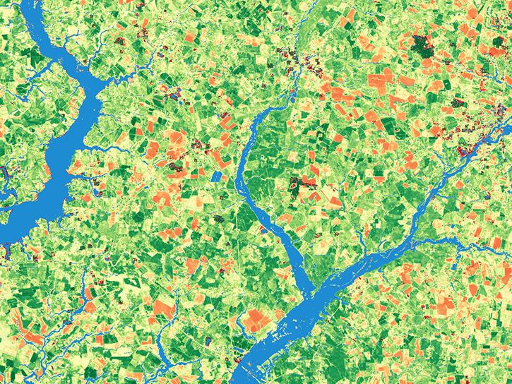
Anthropogenic/Human Influenced Ecosystems Data Access and Tools
From discovery to visualization, data tools such as the Application for Extracting and Exploring Analysis Ready Samples (AppEEARS), Worldview, and NASA's Oak Ridge National Laboratory DAAC (ORNL DAAC) subsetting tools guide users in making the most of human-influenced ecosystem data.
Anthropogenic/Human Influenced Ecosystems Datasets
| Dataset Sort descending | Version | Platforms | Instruments | Temporal Extent | Spatial Extent | Spatial Resolution | Data Format |
|---|---|---|---|---|---|---|---|
| Geobotanical and Impact Map Collection for Prudhoe Bay Oilfield, Alaska, 1972-2010 | 1 | FIELD SURVEYS, FIELD INVESTIGATION, LANDSAT | 1949-01-01 to 2010-07-31 |
N: 71.0271 S: 69.9702 E: -146.974 W: -150.167 |
multiple | ||
| Global Agricultural Lands: Croplands, 2000 | 1.0 | MODELS | Computer | 2000-01-01 to 2000-12-31 |
N: 90 S: -90 E: 180 W: -180 |
0.008333 Decimal Degrees x 0.008333 Decimal Degrees | PDF, GeoTIFF, Grid, PNG, WMS |
| Global Agricultural Lands: Pastures, 2000 | 1.0 | MODELS | Computer | 2000-01-01 to 2000-12-31 |
N: 90 S: -90 E: 180 W: -180 |
0.008333 Decimal Degrees x 0.008333 Decimal Degrees | GeoTIFF, Grid, PDF, PNG, WMS |
| Global Food Security Support Analysis Data (GFSAD) Crop Dominance 2010 Global 1 km V001 | 001 | Terra, NOAA-7, NOAA-9, NOAA-11, NOAA-14 | MODIS, AVHRR | 2007-01-01 to 2012-12-31 |
N: 90 S: -90 E: 180 W: -180 |
1000 Meters x 1000 Meters | GeoTIFF |
| Global Food Security Support Analysis Data (GFSAD) Crop Mask 2010 Global 1 km V001 | 001 | Terra, NOAA-7, NOAA-9, NOAA-11, NOAA-14, LANDSAT-5, LANDSAT-7 | MODIS, AVHRR, TM, ETM+ | 2007-01-01 to 2012-12-31 |
N: 90 S: -90 E: 180 W: -180 |
1000 Meters x 1000 Meters | GeoTIFF |
| Global Food Security-support Analysis Data (GFSAD) Cropland Extent 2010 North America product 30 m V001 | 001 | LANDSAT-7, DEM, LANDSAT-5 | ETM+, TM | 2008-01-01 to 2015-12-31 |
N: 90 S: -0.001078 E: 1.928773 W: -180 |
30 Meters x 30 Meters | GeoTIFF |
| Global Food Security-support Analysis Data (GFSAD) Cropland Extent 2015 Africa 30 m V001 | 001 | LANDSAT-8, Sentinel-2A, DEM, LANDSAT-5 | OLI, Sentinel-2 MSI, TM | 2013-01-01 to 2016-06-30 |
N: 40.10861 S: -50.108476 E: 70.001218 W: -37 |
30 Meters x 30 Meters | GeoTIFF |
| Global Food Security-support Analysis Data (GFSAD) Cropland Extent 2015 Australia, New Zealand, China, Mongolia 30 m V001 | 001 | LANDSAT-8, LANDSAT-7, DEM, LANDSAT-5 | OLI, ETM+, TM | 2013-01-01 to 2016-12-31 |
N: 60.095406 S: -62 E: 180 W: 60 |
30 Meters x 30 Meters | GeoTIFF |
| Global Food Security-support Analysis Data (GFSAD) Cropland Extent 2015 Europe, Central Asia, Russia, Middle East product 30 m V001 | 001 | LANDSAT-8, LANDSAT-7, DEM, LANDSAT-5 | OLI, ETM+, TM | 2013-01-01 to 2016-12-31 |
N: 90 S: 0 E: 180 W: -180 |
30 Meters x 30 Meters | GeoTIFF |
| Global Food Security-support Analysis Data (GFSAD) Cropland Extent 2015 South America product 30 m V001 | 001 | LANDSAT-8, LANDSAT-7, DEM, LANDSAT-5 | OLI, ETM+, TM | 2013-01-01 to 2016-12-31 |
N: 15 S: -60 E: -20 W: -110 |
30 Meters x 30 Meters | GeoTIFF |
SHOWING 10 OF 65
OLI
The Operational Land Imager (OLI) aboard the Landsat 8 satellite and OLI-2 aboard Landsat 9 measure in the visible, near infrared, and shortwave infrared portions of the spectrum. The instrument's images cover wide areas of Earth's landscape while providing sufficient resolution to distinguish features like urban centers, farms, forests, and other land uses.

Our experts break down the similarities and differences of Earth observation sensors operated by NASA.
The Harmonized Landsat and Sentinel-2 (HLS) project generates global land surface reflectance data every 2 to 3 days at 30 meter resolution.

Use NASA's Application for Extracting and Exploring Analysis Ready Samples (AppEEARS) tool to access data for an area of interest.

The release of the HLS codebase gives product users greater visibility into the project’s image processing pipeline.
Anthropogenic/Human Influenced Ecosystems Data Tools
| Tool Sort descending | Description | Services | |
|---|---|---|---|
| STREAM | STREAM is a rapid water quality monitoring tool that processes satellite imagery to create maps showing chlorophyll-a, Total Suspended Solids, and water clarity at 20-30 meter resolution. | Processing | |
| TESViS | The Terrestrial Ecology Subsetting & Visualization Services Global Subsets Tool provides on-demand, customized subsets of several terrestrial ecology data products. | Visualization, Subsetting |
SHOWING 2 OF 2
Frequently Asked Questions
Earthdata Forum
Our online forum provides a space for users to browse thousands of FAQs about research needs, data, and data applications. You can also submit new questions for our experts to answer.
Submit Questions to Earthdata Forumand View Expert Responses