We are in the process of migrating all NASA Earth science data sites into Earthdata from now until end of 2026. Not all NASA Earth science data and resources will appear here until then. Thank you for your patience as we make this transition.
Read about the Web Unification Project
Precipitation Rate News
Articles, resources, and announcements from Precipitation Rate.
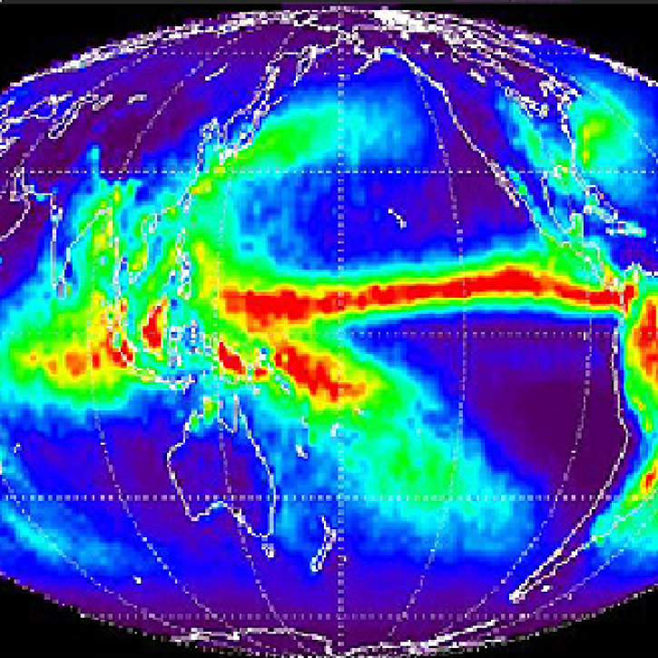
Overview of methodology to monitor rainfall on a global scale.
Feature Article
July 21, 2020

Image captured on 22 October 2017, by the VIIRS instrument, aboard the joint NASA/NOAA Suomi NPP satellite.
Worldview Image of the Week
Feb. 26, 2020

Image captured on 4 November 2017, by the VIIRS instrument, aboard the joint NASA/NOAA Suomi NPP satellite.
Worldview Image of the Week
Feb. 26, 2020
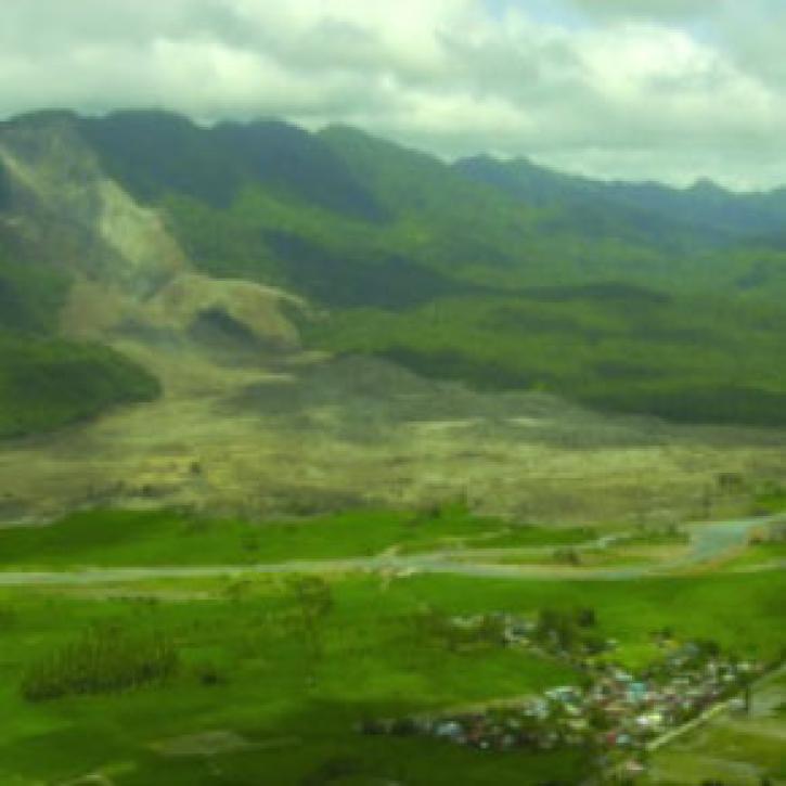
Scientists use satellites to plot heavy rainfall and help assess landslide and flood hazards.
Feature Article
Feb. 13, 2007
SHOWING 4 OF 12