We are in the process of migrating all NASA Earth science data sites into Earthdata from now until end of 2026. Not all NASA Earth science data and resources will appear here until then. Thank you for your patience as we make this transition.
Read about the Web Unification Project
Atmosphere Learning Resources
Webinars, tutorials, data recipes and more to help you work with Atmosphere.
Filters

This ARSET training provides an overview of how GRACE observations can be used to support water resources management.
Training
June 25, 2020

This ARSET training is tailored to those interested in learning how to access and visualize NASA satellite imagery.
Training
May 26-28, 2020
Esta capacitación de ARSET ha sido adaptada para quienes se interesan por aprender cómo acceder y visualizar imágenes de satélites de la NASA.
Training
May 26-28, 2020

Evaluating the evolution of ocean response to the 2019 Atlantic tropical cyclones.
Data in Action
April 2, 2020

Join us as we show you how to discover and download atmospheric data at NASA's Atmospheric Science Data Center (ASDC) in order to showcase your research and enable visualizations of your data and analysis.
Webinar
March 27, 2020
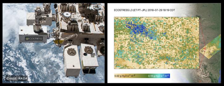
NASA's ECOSTRESS Mission studies how plants use water by measuring their temperature from space. Join us to learn more about ECOSTRESS mission measurements, data and tools!
Webinar
Feb. 18, 2020

This ARSET training focuses on the analysis and interpretation of long-term IMERG data for extreme dry and wet period monitoring and management.
Training
Jan. 28 - Feb. 4, 2020
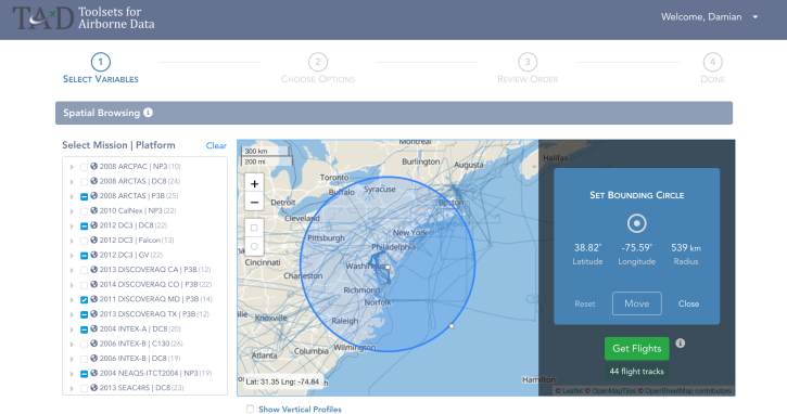
The talk will be focused around “How’s and “Why's” of full-stack Web site architecture, technology choices, and best practices. The featured use case is the Advanced Analysis of Airborne Chemistry Data web application. Target Audience: Web Engineers, Developers and Data Providers
Webinar
Jan. 15, 2020
SHOWING 8 OF 170
Frequently Asked Questions
Earthdata Forum
Our online forum provides a space for users to browse thousands of FAQs about research needs, data, and data applications. You can also submit new questions for our experts to answer.
Submit Questions to Earthdata Forumand View Expert Responses