We are in the process of migrating all NASA Earth science data sites into Earthdata from now until end of 2026. Not all NASA Earth science data and resources will appear here until then. Thank you for your patience as we make this transition.
Read about the Web Unification Project
Atmosphere Learning Resources
Webinars, tutorials, data recipes and more to help you work with Atmosphere.
Filters

The CALIPSO satellite and the Earth Polychromatic Imaging Camera (EPIC) on NOAA’s DSCOVR satellite collected valuable data on one of the worst fires and fire seasons in California history.
Data in Action
Nov. 16, 2020

This ARSET training covers how to access VIIRS data products, the differences between VIIRS and MODIS, and its air quality applications.
Training
Oct. 22, 2020

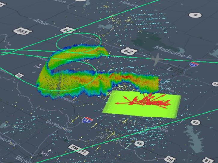
Users can access information about tropical storms through a representational state transfer (REST) interface provided by NASA’s Global Hydrometeorology Resource Center Distributed Active Archive Center (GHRC DAAC).
Tutorial
Oct. 3, 2020
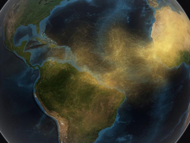
Join us as we explore how GES DISC tools and data products can augment ongoing vital research on the dynamics of dust transport in Earth’s atmosphere. We will investigate the June 2020 Sahara Dust Event over Barbados as our use case.
Webinar
Sept. 25, 2020

Explore sea surface temperature anomalies in the Gulf of America before, during, and after Tropical Cyclones Laura and Marco with NASA's MUR SST dataset.
Data in Action
Sept. 10, 2020
This presentation will discuss NASA's Global Hydrology Resource Center Distributed Active Archive Center (GHRC DAAC) activities to transition the user experience to the cloud, how these efforts are being applied (e.g., tools, visualizations, and analysis), and how this supports users.
Webinar
July 28, 2020

This ARSET training teaches how to use earth observations to estimate water budgets for a given river basin.
Training
July 21 - Aug. 4, 2020

Esta capacitación de ARSET presenta una visión general de cómo utilizar observaciones de GRACE para apoyar la gestión de recursos hídricos.
Training
June 25, 2020
SHOWING 8 OF 170
Frequently Asked Questions
Earthdata Forum
Our online forum provides a space for users to browse thousands of FAQs about research needs, data, and data applications. You can also submit new questions for our experts to answer.
Submit Questions to Earthdata Forumand View Expert Responses