We are in the process of migrating all NASA Earth science data sites into Earthdata from now until end of 2026. Not all NASA Earth science data and resources will appear here until then. Thank you for your patience as we make this transition.
Read about the Web Unification Project
Aerosols News
Articles, resources, and announcements from Aerosols.
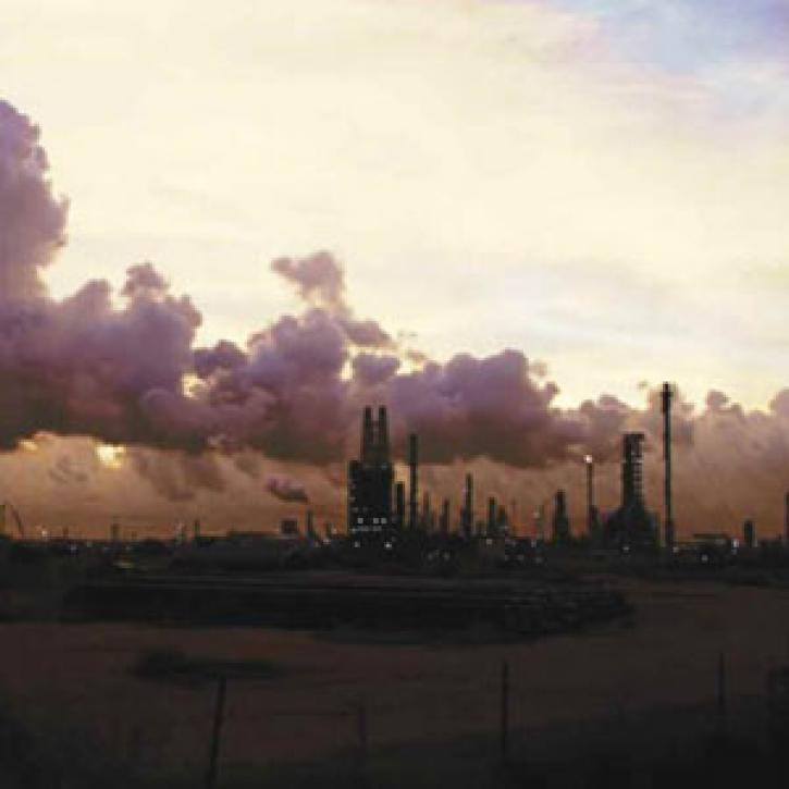
Distant pollution sources worsen local air quality in southeastern Texas.
Feature Article
Dec. 28, 2020

Researchers investigate how much wildfires contribute to pollution, and how far this pollution can travel.
Feature Article
Dec. 28, 2020

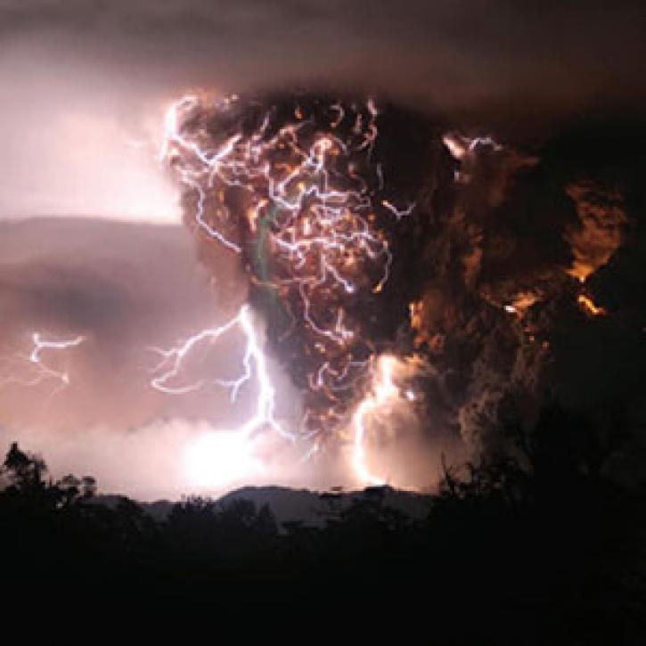
Today's forecast calls for atmospheric explosions and mercury rain.
Feature Article
Dec. 28, 2020

Polluted air over Asia is changing patterns in remote mountain ranges.
Feature Article
Dec. 28, 2020


The air you breathe could be harming your heart.
Feature Article
Dec. 28, 2020
A train of satellites follows the atmospheric effects of a volcanic eruption.
Feature Article
Dec. 27, 2020

Drought turns the Fertile Crescent into a dust bowl.
Feature Article
Dec. 27, 2020
SHOWING 8 OF 250