We are in the process of migrating all NASA Earth science data sites into Earthdata from now until end of 2026. Not all NASA Earth science data and resources will appear here until then. Thank you for your patience as we make this transition.
Read about the Web Unification Project
Filters

Cloud computing is the ability to access and work with data virtually in a cloud-based environment.
Data Basics
June 14, 2024
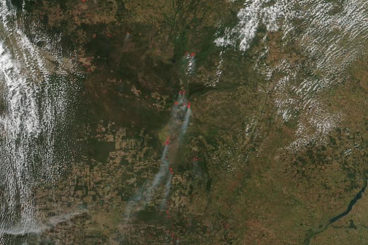
Image captured on June 12, 2024, by the VIIRS instrument aboard the joint NASA/NOAA Suomi NPP satellite.
Worldview Image of the Week
June 13, 2024

Use HiTIDE to select, subset, and download KaRIn sea surface height data from SWOT.
Tutorial
June 11, 2024

Data from NASA's Fire Information for Resource Management System (FIRMS) help personnel in Canada's Northwest Territories Department of Environment and Climate Change manage wildfires.
Feature Article
June 11, 2024
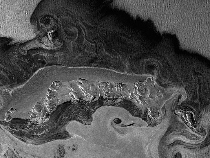
General rules of thumb for interpreting synthetic aperture radar (SAR) imagery and resources for viewing SAR imagery.
Data Basics
June 10, 2024
The new application from NASA's Prediction Of Worldwide Energy Resources (POWER) Project replaces its previous Data Access Viewer.
News
June 10, 2024

View a table of synthetic aperture radar (SAR) products and their processing levels available through NASA's Earth Science Data Systems (ESDS) Program.
Data Basics
June 7, 2024
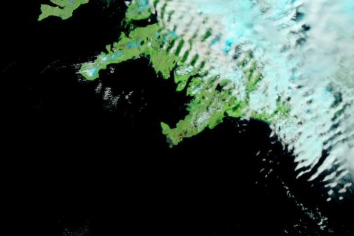
Image captured on June 5, 2024, by the VIIRS instrument aboard the joint NASA/NOAA Suomi NPP satellite.
Worldview Image of the Week
June 6, 2024
SHOWING 8 OF 2379