We are in the process of migrating all NASA Earth science data sites into Earthdata from now until end of 2026. Not all NASA Earth science data and resources will appear here until then. Thank you for your patience as we make this transition.
Read about the Web Unification Project
Filters

20 years after NASA launched a new radar remote sensing instrument called a scatterometer on the Seasat satellite, data from that first scatterometer and its descendants have opened up new possibilities for scientists who study climate change.
Feature Article
July 28, 2020
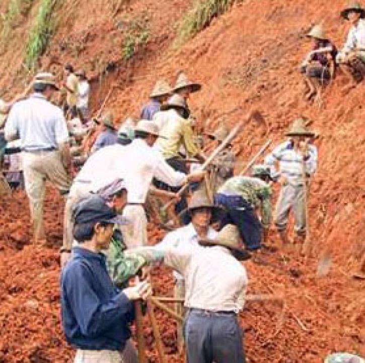
Migrating populations tend to cling to historical language patterns acquired from their homelands.
Feature Article
July 28, 2020
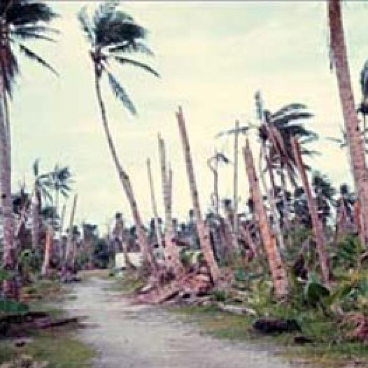
Using data from three satellite instruments, researchers find that a tropical cyclone had a significant effect on phytoplankton production in the South China Sea.
Feature Article
July 28, 2020
For more than 400 years, Andean mountain people in Peru and Bolivia have forecasted the most auspicious time to plant potatoes by stargazing.
Feature Article
July 28, 2020

Studying modern earthquakes that produce liquefaction can help better interpret the geologic record of liquefaction during past events.
Feature Article
July 28, 2020
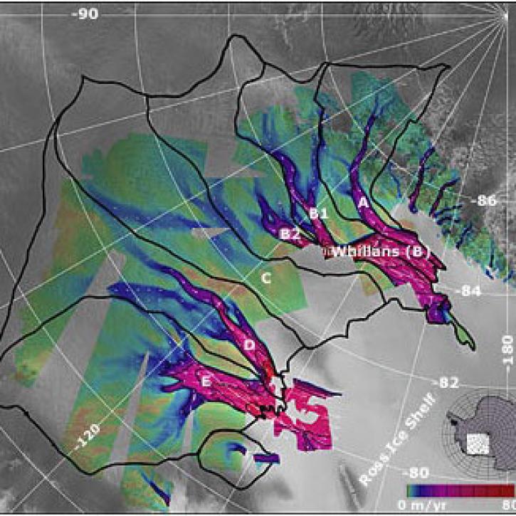
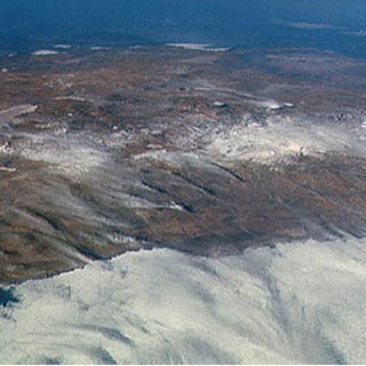
After a century of exploration and research, much remains unknown about the so-called seventh continent of Antarctica.
Feature Article
July 28, 2020

A regional modeling study suggests that summers in the United States may be different from 200 years ago as a result of large-scale land use changes.
Feature Article
July 28, 2020

Climate modelers trying to replicate climate change on a global scale need to better understand smaller scale regional climate dynamics to account for the nuances of climate variability.
Feature Article
July 28, 2020
SHOWING 8 OF 2379