We are in the process of migrating all NASA Earth science data sites into Earthdata from now until end of 2026. Not all NASA Earth science data and resources will appear here until then. Thank you for your patience as we make this transition.
Read about the Web Unification Project
Filters

Image captured on 26 October 2016 by the Visible Infrared Imaging Radiometer Suite (VIIRS) instrument, aboard the joint NASA/NOAA Suomi National Polar-orbiting Partnership (Suomi NPP) satellite.
Worldview Image of the Week
Aug. 31, 2020

Image captured on 10 August 2018, by the VIIRS instrument, aboard the joint NASA/NOAA Suomi NPP satellite.
Worldview Image of the Week
Aug. 31, 2020
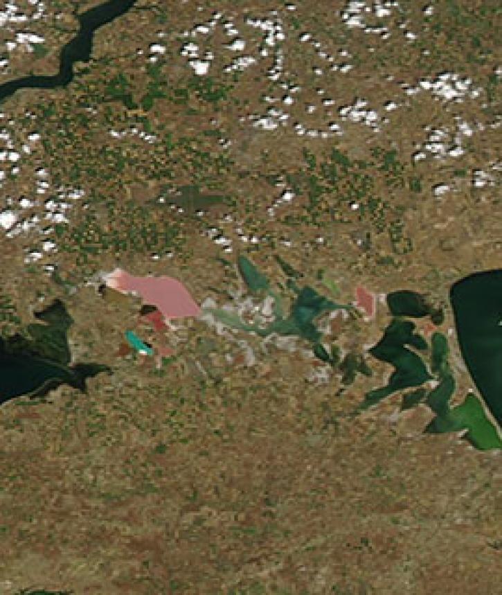
Image captured on 28 June 2020, by the MODIS instrument, aboard the Aqua satellite.
Worldview Image of the Week
Aug. 31, 2020
Image captured on 29 December 2019, by the VIIRS instrument, aboard the joint NASA/NOAA Suomi NPP satellite.
Worldview Image of the Week
Aug. 31, 2020

Image captured on 29 January 2017 by the VIIRS instrument, aboard the joint NASA/NOAA Suomi NPP satellite.
Worldview Image of the Week
Aug. 31, 2020

Image captured on 12 July 2020, by the VIIRS instrument, aboard the joint NASA/NOAA Suomi NPP satellite.
Worldview Image of the Week
Aug. 31, 2020

Image captured on 9 January 2017 by the MODIS instrument, aboard the Terra satellite.
Worldview Image of the Week
Aug. 31, 2020
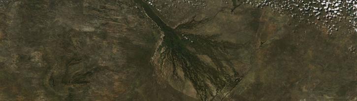
Image captured on 14 May 2017 by the MODIS instrument, aboard the Aqua satellite.
Worldview Image of the Week
Aug. 31, 2020
SHOWING 8 OF 2379