We are in the process of migrating all NASA Earth science data sites into Earthdata from now until end of 2026. Not all NASA Earth science data and resources will appear here until then. Thank you for your patience as we make this transition.
Read about the Web Unification Project
Filters

Image captured on 7 September 2019, by the VIIRS instrument, aboard the joint NASA/NOAA Suomi NPP satellite.
Worldview Image of the Week
Nov. 4, 2020
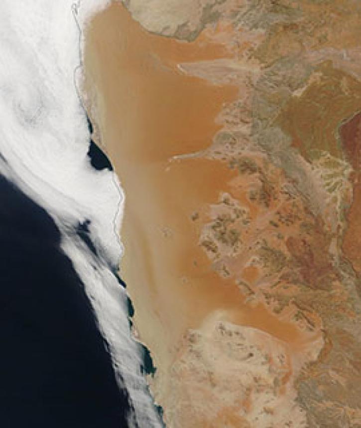
Image captured on 21 April 2019, by the MODIS instrument, aboard the Terra satellite
Worldview Image of the Week
Nov. 4, 2020

Image captured on 12 October 2020, by the MODIS instrument, aboard the Terra satellite.
Worldview Image of the Week
Nov. 4, 2020

Precipitation Rate on 5 July 2020 from IMERG.
Worldview Image of the Week
Nov. 4, 2020

Image captured on 22 December 2019, by the VIIRS instrument, aboard the joint NASA/NOAA Suomi NPP satellite.
Worldview Image of the Week
Nov. 4, 2020

Image captured on 12 November 2019, by the VIIRS instrument, aboard the joint NASA/NOAA Suomi NPP satellite.
Worldview Image of the Week
Nov. 4, 2020
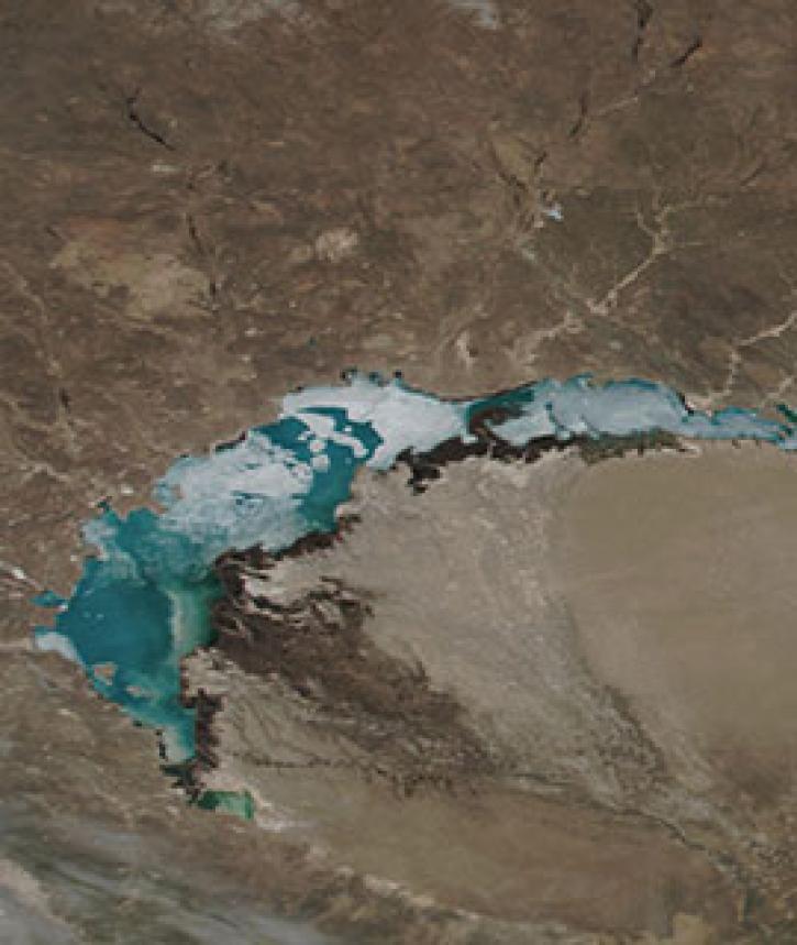
Image captured on 8 April 2019, by the VIIRS instrument, aboard the joint NASA/NOAA Suomi NPP satellite.
Worldview Image of the Week
Nov. 4, 2020

Image captured on 12 May 2019, by the MODIS instrument, aboard the Aqua satellite.
Worldview Image of the Week
Nov. 4, 2020
SHOWING 8 OF 2379