We are in the process of migrating all NASA Earth science data sites into Earthdata from now until end of 2026. Not all NASA Earth science data and resources will appear here until then. Thank you for your patience as we make this transition.
Read about the Web Unification Project
Filters

Image captured July 3, 2025, by the VIIRS instrument aboard the joint NASA/NOAA Suomi NPP platform.
Worldview Image of the Week
July 3, 2025

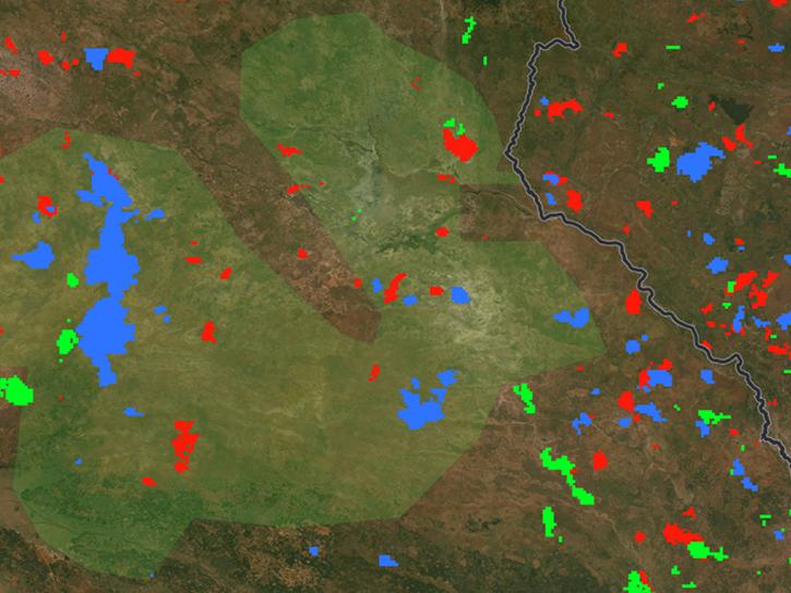
Most of FIRMS fire detection data is provided as a single point (latitude, longitude). For some applications, it is beneficial to have the corresponding rectangle detection area. To compute see the formula below:
Tutorial
July 2, 2025
This tutorial provides Fire Information for Resource Management System (FIRMS) WMS/WFS information, including types, descriptions, technical specifications, and best practices.
Tutorial
July 2, 2025
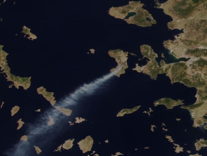
Image captured June 23, 2025, by the VIIRS instrument aboard the joint NASA/NOAA NOAA-21 platform.
Worldview Image of the Week
June 26, 2025
New Level 4A data are the first from the Global Ecosystem Dynamics Investigation (GEDI) mission since the instrument returned to operation in 2024.
News
June 26, 2025

Drill down to the data you need with Earthdata Search filters.
News
June 25, 2025

The charting tool lets users create a line chart (or graph) offering important statistical trends for a single variable over time.
Blog
June 24, 2025
Learn how to filter data collections with search facets available in Earthdata Search.
Tutorial
June 24, 2025
SHOWING 8 OF 2379