We are in the process of migrating all NASA Earth science data sites into Earthdata from now until end of 2026. Not all NASA Earth science data and resources will appear here until then. Thank you for your patience as we make this transition.
Read about the Web Unification Project
Filters

With the long awaited release of the provisional Harmonized Landsat and Sentinel-2 (HLS) version 1.5 data, GIBS and Worldview have worked hard to get this 30 meter imagery into Worldview.
Blog
Jan. 25, 2021

Among many applications, the Atlas showcased the Global COVID-19 Viewer developed by NASA’s Socioeconomic Data and Applications Center.
News
Jan. 22, 2021

Researchers used remote sensing to investigate how subsurface ocean temperature variations have changed glaciers over the past 30 years.
Data in Action
Jan. 20, 2021
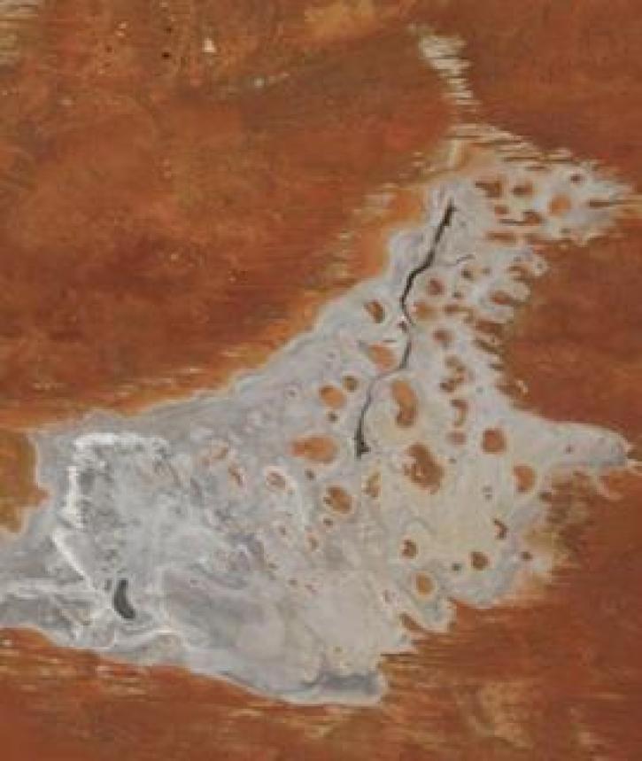
Image captured on 11 January 2021, by the MODIS instrument, aboard the Terra satellite.
Worldview Image of the Week
Jan. 19, 2021
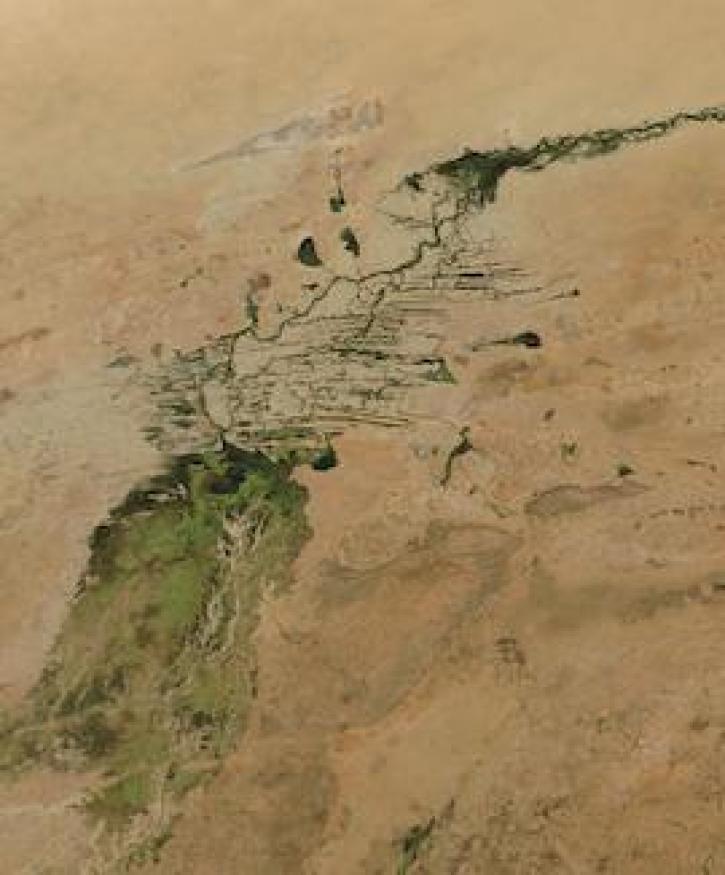
Image captured on 3 January 2021, by the MODIS instrument, aboard the Aqua satellite.
Worldview Image of the Week
Jan. 11, 2021

FIRMS US/Canada is a new version of Fire Information for Resource Management System (FIRMS).
Blog
Jan. 9, 2021
The joint NASA/Indian Space Research Organization SAR (NISAR) mission will provide the world with an unprecedented source of data, processing tools, and educational materials.
Data User Story
Jan. 7, 2021

The Global Navigation Satellite System (GNSS) enables the precise location of points on Earth’s surface. For geodesists like Dr. Herring, it also is a key geodetic technique for his studies of surface deformation processes.
Data User Story
Jan. 7, 2021
SHOWING 8 OF 2379