Delivery of Suomi National Polar-orbiting Partnership (Suomi NPP) satellite data products will cease on November 1, 2026. Data users should transition now to alternative products from NOAA-21 and NOAA-20.
Suomi NPP data announcement
Filters
New Location Search Feature and Better Integration with Earthdata Search Improve Worldview User Experience
Feature Article
July 2, 2021

The Time Since Detection classification for MODIS and VIIRS active fire detection is available in the fire map for FIRMS Global and FIRMS US/Canada.
Blog
June 30, 2021

Image captured on 21 June 2021, by the MODIS instrument, aboard the Aqua satellite.
Worldview Image of the Week
June 30, 2021

Synthetic Aperture Radar (SAR) Data from NASA’s ASF DAAC helps scientists like Dr. Steve Bowman provide Utah’s citizens with timely scientific information about the state’s geologic hazards.
Data User Story
June 29, 2021
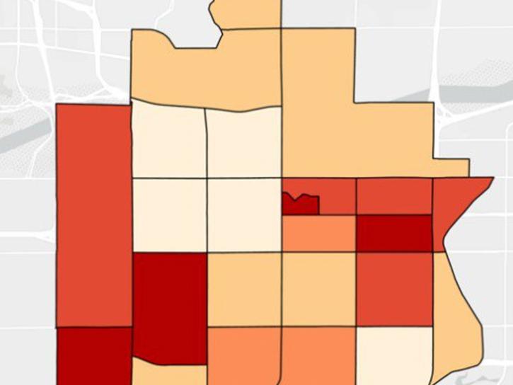
NASA DEVELOP participants used satellite data to identify priority areas for heat relief in Tempe, Arizona, creating tools to guide city officials in implementing targeted mitigation strategies.
Data in Action
June 29, 2021

Salinity data from NASA’s PO.DAAC helps Dr. Kyla Drushka investigate sea surface salinity and the circulation and structure of the ocean.
Data User Story
June 24, 2021

Researchers used field and remote sensing data to map the spread of ticks carrying Lyme disease bacteria in central and eastern Canada.
Feature Article
June 24, 2021

NASA’s wide range of atmospheric datasets help scientists like Dr. Qing Liang monitor and simulate concentrations of trace gases that impact ozone in the atmosphere.
Data User Story
June 24, 2021
SHOWING 8 OF 2400