We are in the process of migrating all NASA Earth science data sites into Earthdata from now until end of 2026. Not all NASA Earth science data and resources will appear here until then. Thank you for your patience as we make this transition.
Read about the Web Unification Project
Filters

NASA’s Openscapes Champions is a professional development and leadership opportunity for researchers to migrate their workflows to the cloud.
Feature Article
June 23, 2021

NASA's Global Change Master Directory has joined the Earthdata Forum, NASA's interactive platform that gives data users the chance to communicate with and learn from experts.
News
June 21, 2021
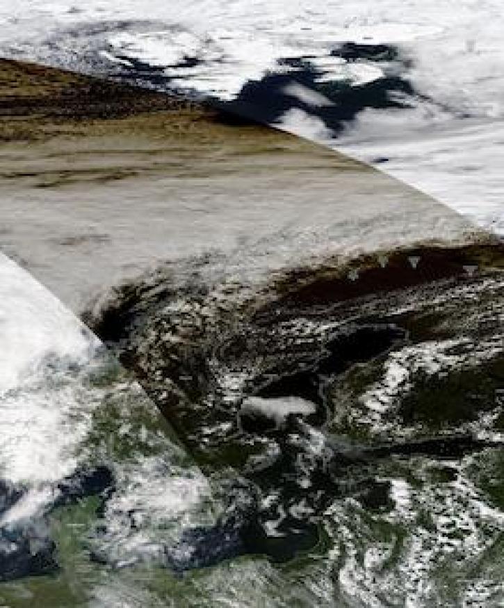
Image captured on June 10, 2021, by the MODIS instrument, aboard the Aqua satellite.
Worldview Image of the Week
June 21, 2021
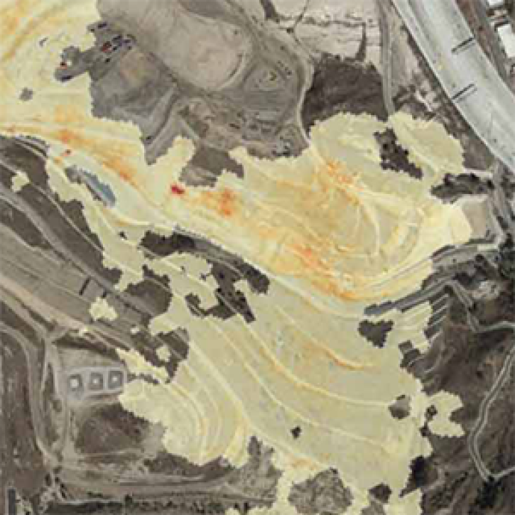
The Methane Source Finder project mapped potential sources of methane in California and developed new technologies to make remote sensing data of methane emissions readily available.
Feature Article
June 17, 2021
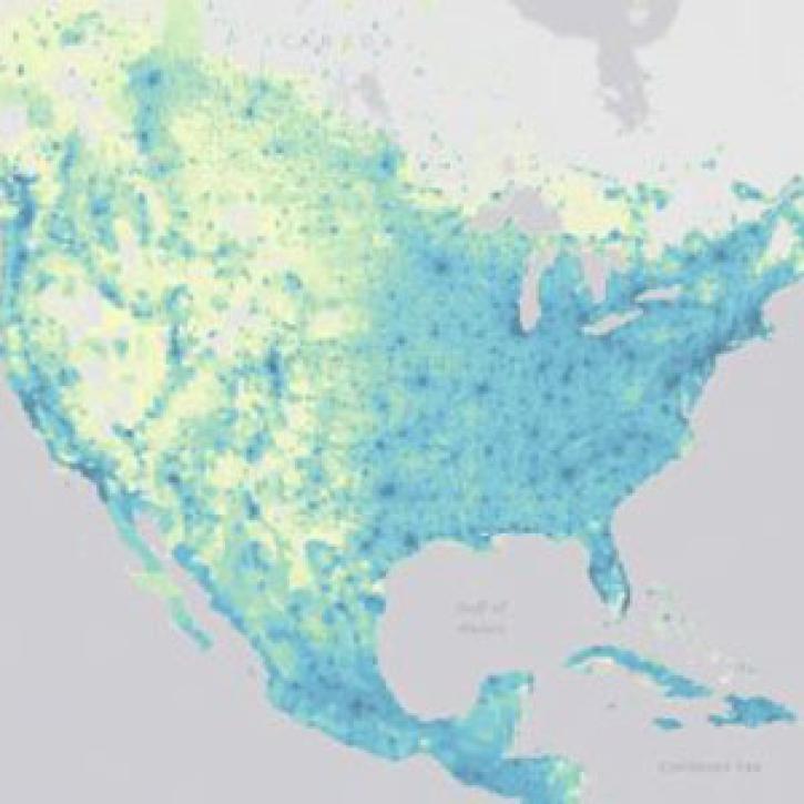
SEDAC releases datasets showing impacts in patterns of socioeconomic development in the era of climate change.
News
June 16, 2021

The Harmonized Landsat Sentinel-2 (HLS) project offers daily, 30-meter global land surface data products to facilitate a wide range of terrestrial Earth science research.
Data User Story
June 15, 2021

Image captured on 5 June 2021, by the VIIRS instrument, aboard the joint NASA/NOAA Suomi NPP satellite.
Worldview Image of the Week
June 14, 2021

FIRMS has added additional capability to integrate satellite active fire detection data as streaming web services.
Blog
June 8, 2021
SHOWING 8 OF 2379