We are in the process of migrating all NASA Earth science data sites into Earthdata from now until end of 2026. Not all NASA Earth science data and resources will appear here until then. Thank you for your patience as we make this transition.
Read about the Web Unification Project
Filters
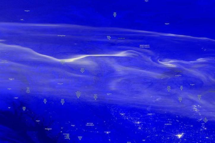
Image captured on Dec 21, 2022, by the VIIRS instrument aboard the joint NASA/NOAA Suomi NPP satellite.
Worldview Image of the Week
Dec. 21, 2022

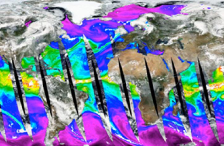
Data from NASA’s OB.DAAC help scientists like Dr. Brice Grunert understand the processes governing carbon cycling in Earth’s ocean.
Data User Story
Dec. 21, 2022

The updated system lets users select HDF4, HDF5, and NetCDF file formats, and facilitates the transition from MODIS to VIIRS data.
News
Dec. 15, 2022

Image captured on Dec 13, 2022, by the VIIRS instrument aboard the joint NASA/NOAA Suomi NPP satellite.
Worldview Image of the Week
Dec. 14, 2022

The Surface Water and Ocean Topography (SWOT) mission will provide the first-ever full view of Earth's freshwater bodies from space.
Data in Action
Dec. 12, 2022

The updated Scientific Information Policy for NASA’s SMD (SPD-41a) is in response to new federal guidance and input from the NASA scientific community.
News
Dec. 8, 2022
Learn how to use Python to convert near real-time (NRT) data from NASA's Advanced Microwave Scanning Radiometer 2 (AMSR2) instrument provided by the Land, Atmosphere Near real-time Capability for Earth Observing Systems (LANCE).
Data Recipe
Dec. 8, 2022

The data are part of ongoing efforts by NASA’s CSDA program to acquire commercial SmallSat data for NASA’s Earth science collection.
News
Dec. 8, 2022
SHOWING 8 OF 2379