Delivery of Suomi National Polar-orbiting Partnership (Suomi NPP) satellite data products will cease on November 1, 2026. Data users should transition now to alternative products from NOAA-21 and NOAA-20.
Suomi NPP data announcement
Filters
The RADARSAT Antarctic Mapping Project provides the world's first high-resolution map of Antarctica.
Feature Article
Sept. 11, 2020

EOSDIS strategies for processing, archiving, and distributing NASA Earth observing data ensure that data are constantly available to global data users – regardless of world events.
Feature Article
Aug. 24, 2020

The experience may be different this summer, but almost a dozen interns are helping the ESDIS Project office and EOSDIS DAACs move vital work forward.
Feature Article
Aug. 12, 2020
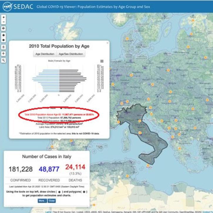
A new global mapping tool shows the number of people affected by the COVID-19 pandemic down to the U.S.-county level, and provides data on age and sex categories that can help identify populations most at risk.
Feature Article
July 29, 2020

Amphibian deformities have now been reported in over 30 states, as well as Canada.
Feature Article
July 28, 2020

The range of data available for modeling also underscores the importance of communication among those working at the interface.
Feature Article
July 28, 2020
Each year, several hundred million tons of African dust are transported westward over the Atlantic to the Caribbean, Central America, and South America.
Feature Article
July 28, 2020

A researcher pushes the limits of radar data to monitor small rice fields in the Philippines.
Feature Article
July 28, 2020
SHOWING 8 OF 535