We are in the process of migrating all NASA Earth science data sites into Earthdata from now until end of 2026. Not all NASA Earth science data and resources will appear here until then. Thank you for your patience as we make this transition.
Read about the Web Unification Project
Filters

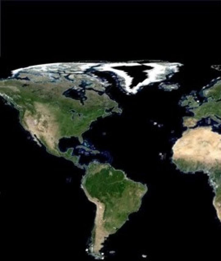
Observe changes in land surface temperature over the course of 2017, with NASA Terra Moderate Resolution Imaging Spectroradiometer (MODIS) images.
Feature Article
Nov. 4, 2020

The addition of a Basic Demographic Characteristics dataset to SEDAC’s Gridded Population of the World (GPW) product is a highlight of GPW version 4.10.
Feature Article
Nov. 4, 2020
NASA’s Making Earth System Data Records for Use in Research Environments (MEaSUREs) Program enables the research community to enhance NASA Earth science data products.
Feature Article
Nov. 4, 2020

After more than 20 years in space, the five instruments aboard NASA’s Terra satellite continue their singular achievement of compiling a climate data record of Earth.
Feature Article
Nov. 4, 2020

The sun sheds light on the future of atmospheric research.
Feature Article
Oct. 16, 2020

Scientists use satellite data from the CERES instrument to simulate cloud effects and improve the accuracy of global climate models.
Feature Article
Oct. 16, 2020

Radar satellite interferometry and the uncertainties of measurements.
Feature Article
Sept. 11, 2020
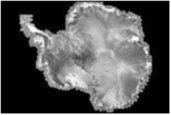
The RADARSAT Antarctic Mapping Project provides the world's first high-resolution map of Antarctica.
Feature Article
Sept. 11, 2020
SHOWING 8 OF 534