We are in the process of migrating all NASA Earth science data sites into Earthdata from now until end of 2026. Not all NASA Earth science data and resources will appear here until then. Thank you for your patience as we make this transition.
Read about the Web Unification Project
Filters

Researchers follow the wanderings of fresh water in the tropics.
Feature Article
March 1, 2021

New VIIRS imagery from NOAA-20 along with new ways to evaluate and select imagery layers make NASA Worldview more useful than ever.
Feature Article
March 1, 2021
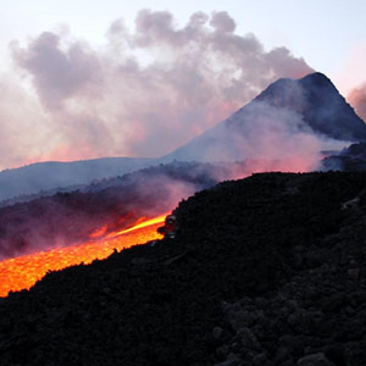
Tracking a volcanic plume reaches new heights, faster.
Feature Article
March 1, 2021
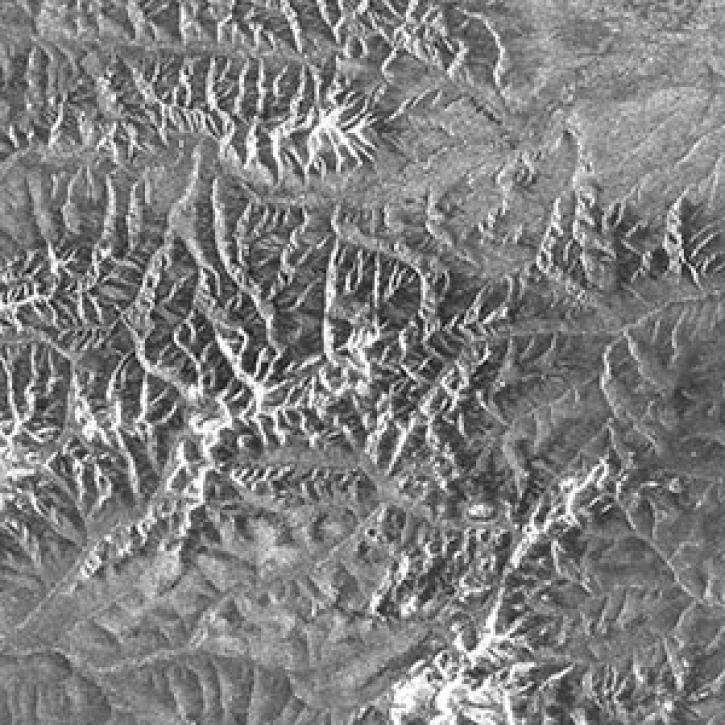
Phased array L-band synthetic aperture radar (PALSAR) data from Japan’s Advanced Land Observing Satellite (ALOS-1) mission are now unrestricted, and can be accessed by scientists and researchers around the world.
Feature Article
March 1, 2021

NASA's Space Apps COVID-19 Challenge invites global teams to use Earth observing data to find solutions to COVID-19 challenges over a 48-hour virtual hackathon May 30 to 31.
Feature Article
March 1, 2021

Enhancements to NASA’s Global Change Master Directory (GCMD) create an even more powerful international resource for discovering Earth science data.
Feature Article
March 1, 2021

Is the delicate relationship between fire and plants changing?
Feature Article
March 1, 2021

Efforts to migrate NASA EOSDIS data into the commercial cloud, an undertaking called Cumulus, made significant strides in 2019.
Feature Article
Feb. 25, 2021
SHOWING 8 OF 534