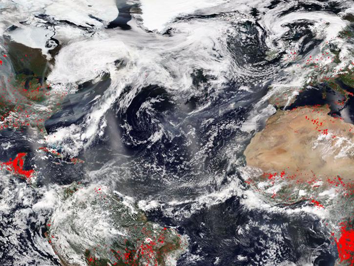
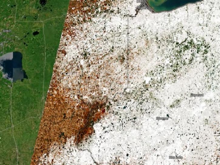
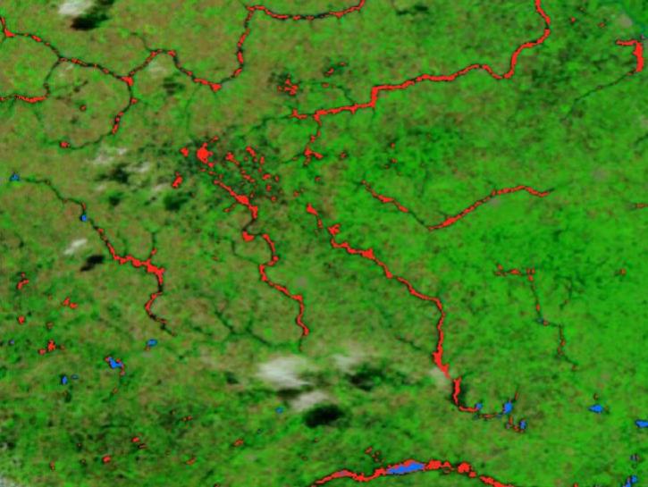
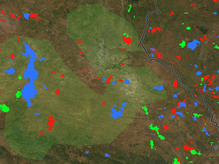
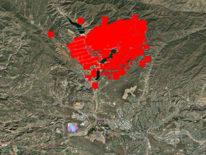
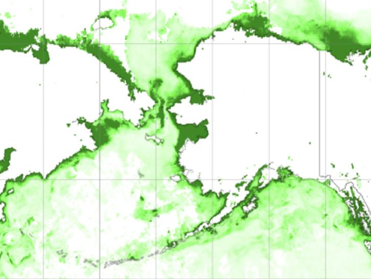
Blog posts from the Earthdata community provide an insider's look at how technologies—such as foundation models, geographic information systems, and visualization tools—play a role in optimizing the impact of Earth science data.
Delivery of Suomi National Polar-orbiting Partnership (Suomi NPP) satellite data products will cease on November 1, 2026. Data users should transition now to alternative products from NOAA-21 and NOAA-20.
Suomi NPP data announcement