We are in the process of migrating all NASA Earth science data sites into Earthdata from now until end of 2026. Not all NASA Earth science data and resources will appear here until then. Thank you for your patience as we make this transition.
Read about the Web Unification Project
Trainings
Go from introductory knowledge in remote sensing to applied applications in hydrology, land cover change, or wildfire management. Trainings are designed to meet the user where they are in interest and skill level.
Featured Trainings

This three-part ARSET training covers flood monitoring via remote sensing, NASA flood products, and GEOGLOWS streamflow predictions.
3 MIN READ

This ARSET training introduces users to the characteristics and data of the NISAR mission and demonstrates workflows for accessing, visualizing, and analyzing the data for a range of applications.
3 MIN READ

This ARSET training introduces key concepts in species distribution modeling and provides example workflows in Google Earth Engine.
3 MIN READ

This training covers the theoretical approaches and key datasets to estimate historical PM2.5 from satellite aerosol optical depth.
3 MIN READ
Filters

This ARSET training provides an overview of NASA Earth Observation data and available tools for land, climate, and wildfire applications.
Training
Aug. 9, 2024

This ARSET training provides an overview of aerosol and trace gas measurements using active and passive techniques for ground based remote sensing.
Training
Aug. 8-22, 2024
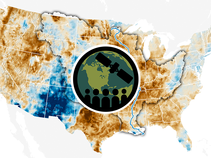
This ARSET training provides hands-on data analysis exercises for monitoring different types of drought (meteorological, hydrological, and agricultural).
Training
July 23 - Aug. 1, 2024

Se repasará en más detalle las mediciones de OCO-2 y OCO-3 y se harán demostraciones de estudios de caso.
Training
July 9-16, 2024
This ARSET training provides an in-depth review of OCO-2 and OCO-3 measurements along with demonstrations of case-studies.
Training
July 9-16, 2024

This ARSET training focuses on flood risk, heat stress, and drought effects on agricultural landscapes in refugee settings.
Training
June 6-20, 2024

This training uses case studies in Bhutan to illustrate how remote sensing data can be used for environmental applications.
Training
May 13-16, 2024
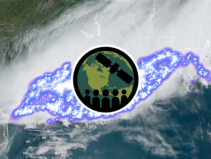
This ARSET training focuses on global and regional lightning data products that can be used for disaster risk preparedness.
Training
March 26 - April 2, 2024
SHOWING 8 OF 215