Delivery of Suomi National Polar-orbiting Partnership (Suomi NPP) satellite data products will cease on November 1, 2026. Data users should transition now to alternative products from NOAA-21 and NOAA-20.
Suomi NPP data announcement
Trainings
Go from introductory knowledge in remote sensing to applied applications in hydrology, land cover change, or wildfire management. Trainings are designed to meet the user where they are in interest and skill level.
Featured Trainings
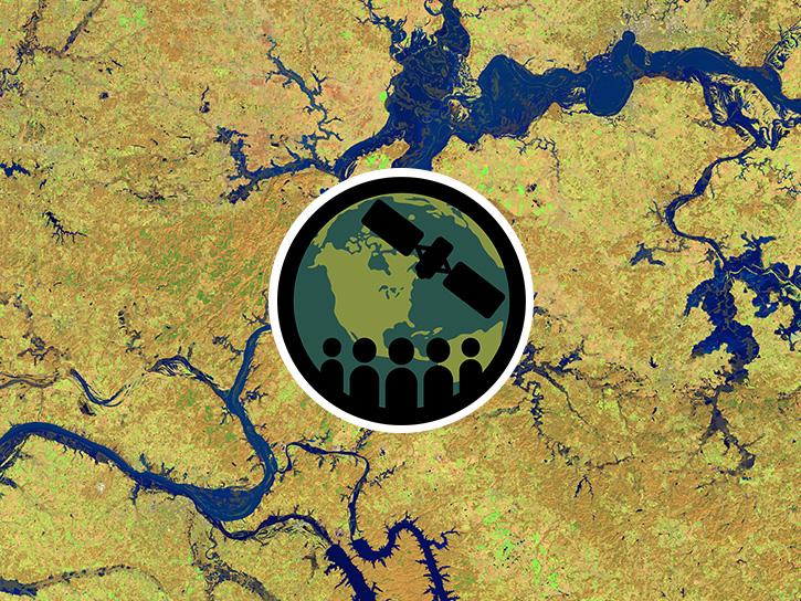
This three-part ARSET training covers flood monitoring via remote sensing, NASA flood products, and GEOGLOWS streamflow predictions.
3 MIN READ
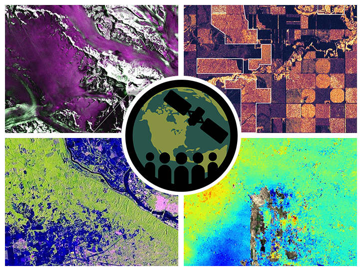
This ARSET training introduces users to the characteristics and data of the NISAR mission and demonstrates workflows for accessing, visualizing, and analyzing the data for a range of applications.
4 MIN READ
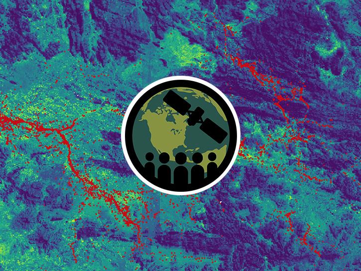
This ARSET training introduces key concepts in species distribution modeling and provides example workflows in Google Earth Engine.
3 MIN READ
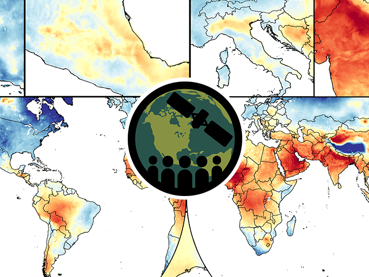
This training covers the theoretical approaches and key datasets to estimate historical PM2.5 from satellite aerosol optical depth.
3 MIN READ
Filters
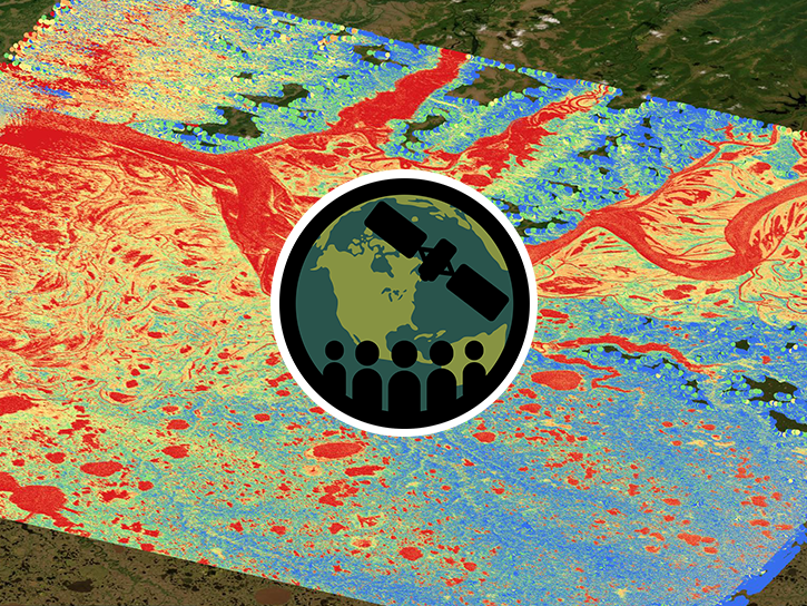
This ARSET training focuses on introducing SWOT freshwater data products and their applications for water resources and disaster management.
Training
May 13-15, 2025
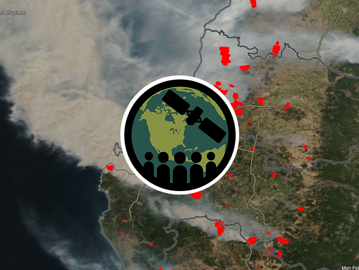
This ARSET training familiarizes participants with the various modules available in FIRMS and explores the range of data and information available.
Training
April 16-30, 2025
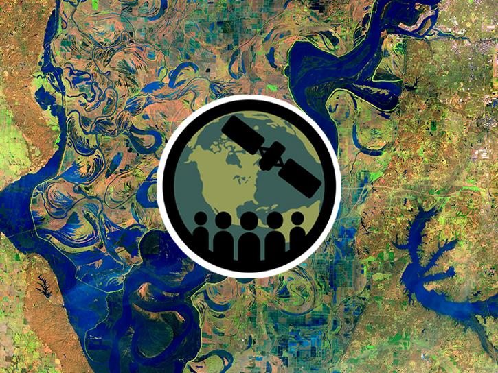
This ARSET training describes remote sensing observations useful as water quality indicators of waterborne diseases.
Training
March 25-27, 2025
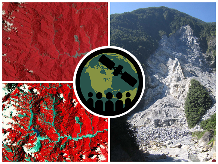
This ARSET training teaches participants how satellite-based Earth observations can inform landslide science and disaster planning.
Training
March 11-18, 2025
This in-person ARSET training provided an overview of NASA remote sensing data for supporting aquaculture activities in marine and freshwater environments.
Training
March 8, 2025
This ARSET training provides an overview of spectral indices for land and aquatic applications as they are calculated with the QGIS platform.
Training
Feb. 27, 2025
Esta capacitación de ARSET ofrece una visión general de los índices espectrales para aplicaciones terrestres y acuáticas utilizando QGIS.
Training
Feb. 27, 2025
This ARSET training guides participants through mapping extent and quantifying carbon stocks of blue carbon ecosystems.
Training
Dec. 3-5, 2024
SHOWING 8 OF 219