We are in the process of migrating all NASA Earth science data sites into Earthdata from now until end of 2026. Not all NASA Earth science data and resources will appear here until then. Thank you for your patience as we make this transition.
Read about the Web Unification Project
GIS at NASA News
Read the latest news announcements, features, data user stories, and blog posts to learn more about how data users leverage Geographic Information Systems (GIS) to enhance their Earth science research.
News
Filters
The app enables users to overlay multiple data layers, including precipitation, storm track, and sea surface temperature.
News
Aug. 24, 2022
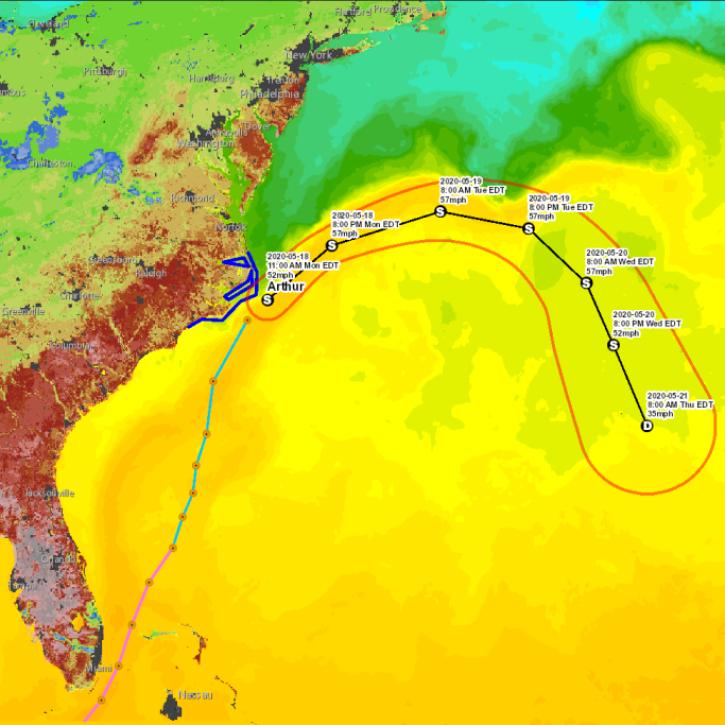
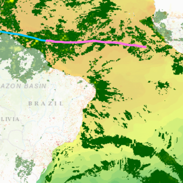
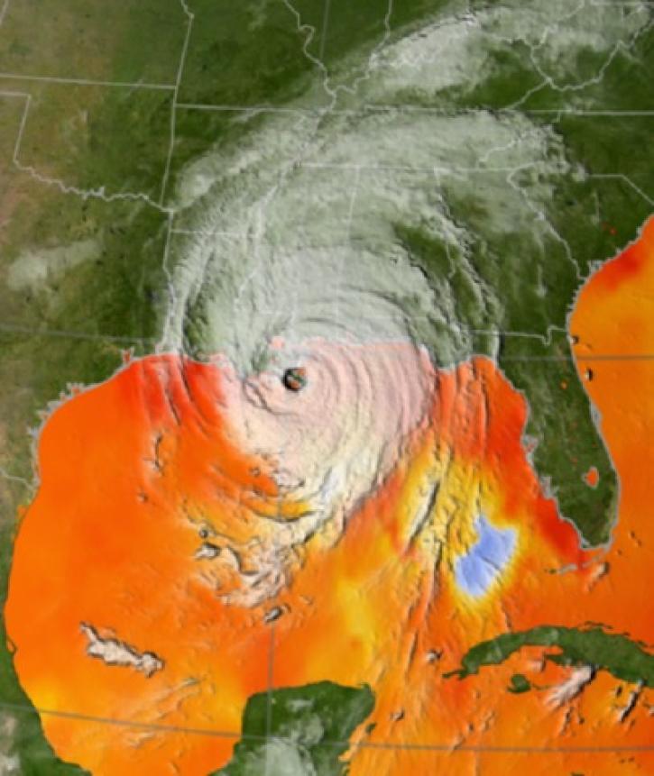
During critical times, geographic information systems (GIS) become indispensable in disseminating data in a way everyday people can quickly understand.
News
Aug. 23, 2022
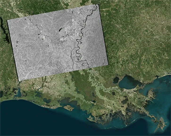
Geographic Information Systems (GIS) provide powerful capabilities for visualizing, analyzing, and interacting with Earth science data.
Feature Article
Dec. 7, 2021

Dr. Bernard Hubbard uses NASA Earth science data to help locate mineral resources and assess natural hazards.
Data User Story
April 22, 2021

Water is a finite resource, and the availability of freshwater can have major social impacts. Dr. Eric Sproles uses Earth observing data as part of his studies into water’s eco-social effects.
Data User Story
Jan. 7, 2021
Each year, scientists highlight the many applications of geographic information systems (GIS) on GIS Day.
News
Nov. 19, 2020

Gain new data integration skills using open source geographic information system (GIS) and Web-based tools.
News
Aug. 25, 2020

Amphibian deformities have now been reported in over 30 states, as well as Canada.
Feature Article
July 28, 2020
SHOWING 8 OF 27