We are in the process of migrating all NASA Earth science data sites into Earthdata from now until end of 2026. Not all NASA Earth science data and resources will appear here until then. Thank you for your patience as we make this transition.
Read about the Web Unification Project
GIS at NASA News
Read the latest news announcements, features, data user stories, and blog posts to learn more about how data users leverage Geographic Information Systems (GIS) to enhance their Earth science research.
News
Filters

New tutorials available for working with NASA/Indian Space Research Organization (ISRO) SAR (NISAR) sample data.
News
Aug. 20, 2024
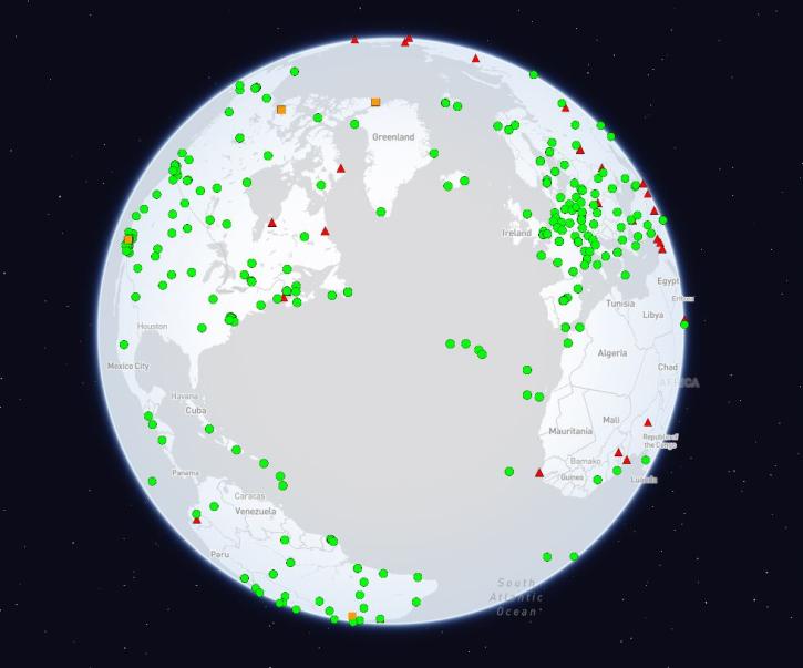
The International Global Navigation Satellite Systems Service (IGS), a voluntary federation of more than 200 self-funding entities, celebrates three decades of providing high-quality data.
Feature Article
Feb. 29, 2024
The new standard allows for efficient downloading and processing of Geographic Tagged Image File Format (GeoTIFF) files.
Feature Article
Jan. 5, 2024
The Multi-Mission Algorithm and Analysis Platform (MAAP) team unveiled stac_ipyleaflet, the latest addition to MAAP user tool boxes.
Blog
Dec. 5, 2023
Geographic Information Systems (GIS) make it easy to see the relationships between different datasets and are a powerful tool for researchers. GIS Day celebrates this technology.
News
Nov. 14, 2023
NASA geographic information systems (GIS) resources were front and center at the Esri international User Conference in July 2023. Multiple NASA Earth science teams demonstrated the many GIS capabilities provided by the agency.
News
Aug. 3, 2023
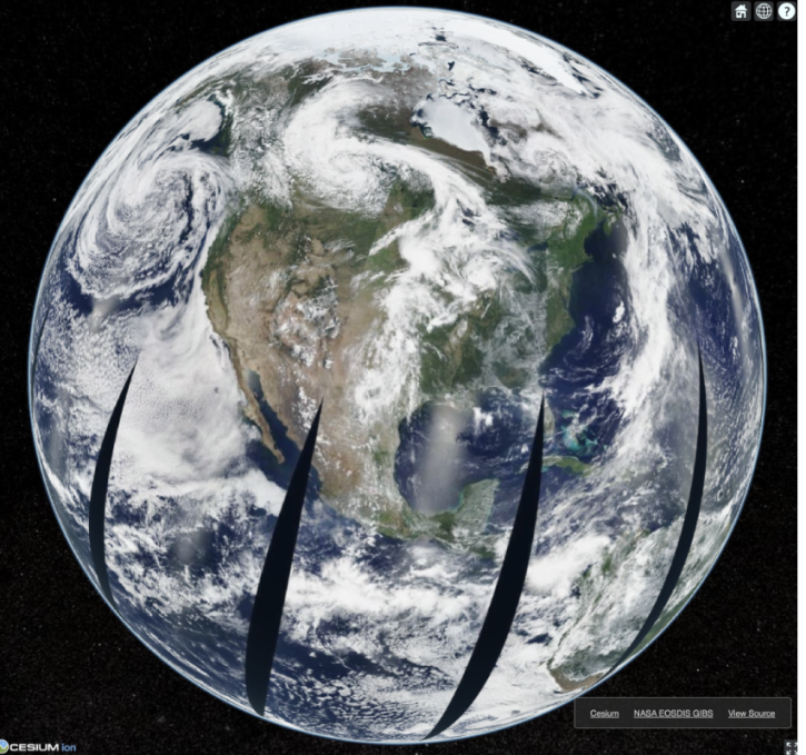
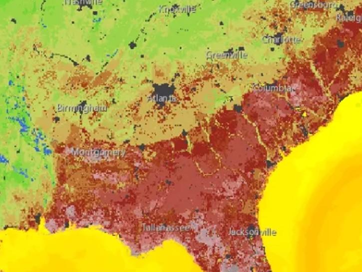
If you're interested in retrieving NASA Earth Science imagery visualizations via the Global Imagery Browse Services to use in your own applications, you've come to the right place—and we've updated our web examples.
Blog
April 25, 2023
Through the agreement, NASA geospatial data will be increasingly available to more than 10 million users of geographic information system (GIS) software in ArcGIS and open geospatial consortium (OGC)-based formats.
News
Jan. 31, 2023
SHOWING 8 OF 27