We are in the process of migrating all NASA Earth science data sites into Earthdata from now until end of 2026. Not all NASA Earth science data and resources will appear here until then. Thank you for your patience as we make this transition.
Read about the Web Unification Project
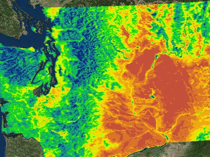
Data in Action
All across the planet, NASA Earth science data are used to meet real-world challenges.
Featured Data in Action

5 MIN READ
The eBird project uses NASA data and observations from amateur birdwatchers to provide insights into the decline in avian populations throughout North America.
June 17, 2025

5 MIN READ
A comparison of aurora forecasts with actual satellite observations suggests VIIRS DNB data can enhance space weather prediction efforts.
May 30, 2025
Filters

2 MIN READ
Learn how satellite altimetry is used to measure the heights of rivers and lakes.
May 11, 2015

6 MIN READ
Learn how NASA data can inform crop decisions in desert areas, help farmers predict frost events, and understand why land change trends occur.
April 29, 2015

3 MIN READ
Researchers used MODIS and ASTER data to analyze how the Three Gorges Dam's construction altered vegetation along the Yangtze River's riparian zones.
April 29, 2015

2 MIN READ
Learn how NASA’s Gravity Recovery and Climate Experiment satellite mission measures groundwater changes from space.
March 26, 2015

4 MIN READ
See how scientists used ASTER thermal infrared imagery to study Ethiopia's volcanically active Afar Triangle.
March 25, 2015

3 MIN READ
Read stories from the 2014 issue of Sensing our Planet to learn about the many uses of MODIS data distributed by LP DAAC.
March 18, 2015

2 MIN READ
MODIS data captured the extensive flooding of the Shire River in Malawi and Mozambique, caused by unusually heavy rains and a tropical cyclone.
Feb. 15, 2015
2 MIN READ
NASA's Northwest U.S. Agriculture Team used MODIS data to calculate the growing degree days of the codling moth.
Feb. 14, 2015
SHOWING 8 OF 186