Delivery of Suomi National Polar-orbiting Partnership (Suomi NPP) satellite data products will cease on November 1, 2026. Data users should transition now to alternative products from NOAA-21 and NOAA-20.
Suomi NPP data announcement
Featured Data Tools
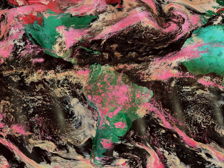
Worldview offers the capability to interactively browse over 1,200 global, full-resolution satellite imagery layers and download the underlying data.
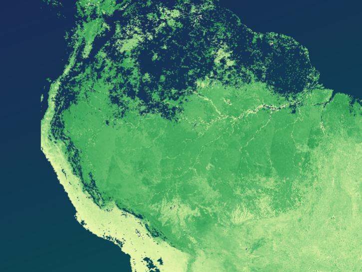
The Application for Extracting and Exploring Analysis Ready Samples (AppEEARS) offers a simple and efficient way to perform data access and transformation processes.
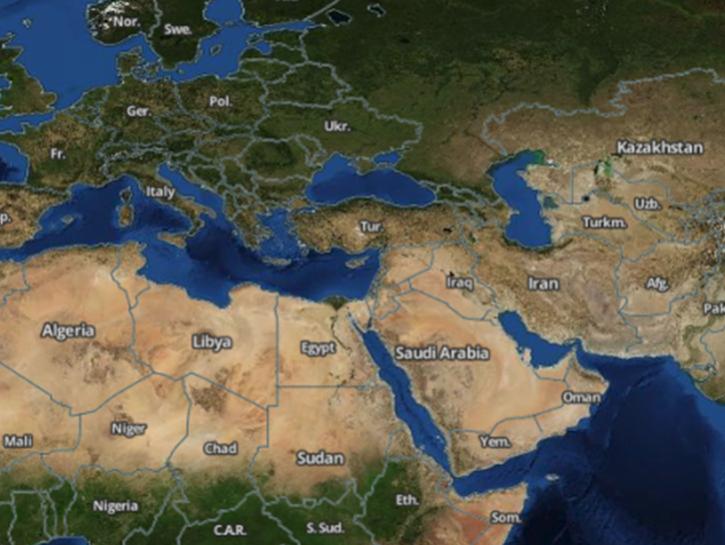
Earthdata Search enables data discovery, search, comparison, visualization, and access across NASA’s Earth science data holdings.
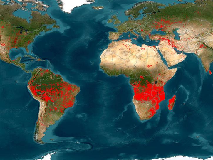
The Fire Information for Resource Management System (FIRMS) provides access to satellite imagery, active fire/hotspots, and related products to identify the location, extent, and intensity of wildfire activity.
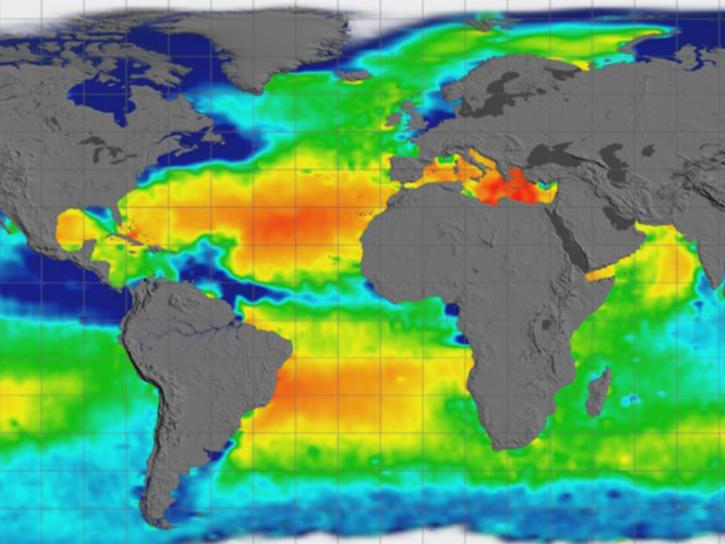
Earthdata GIS is a resource for distributing cloud-native, GIS-ready NASA Earth science data and services, including over 200 raster and feature geospatial services as well as resources such as thematic applications and ArcGIS StoryMaps.
Explore All Data Tools
| Tool Sort descending | Description | Services | |
|---|---|---|---|
| WISP | The Water Information from Space (WISP) is an interactive dashboard for displaying satellite hydrology data. | Monitoring Natural Events, Visualization | |
| Worldview | Worldview offers the capability to interactively browse over 1,200 global, full-resolution satellite imagery layers and download the underlying data. | Analysis, Search and Discovery, Visualization, Access, Comparison, Monitoring Natural Events | |
| Worldview Snapshots | Worldview Snapshots is a lightweight tool for creating image snapshots from a selection of popular NASA satellite imagery layers. | Analysis, Search and Discovery, Visualization |
SHOWING 3 OF 83