
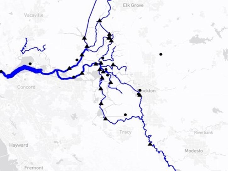
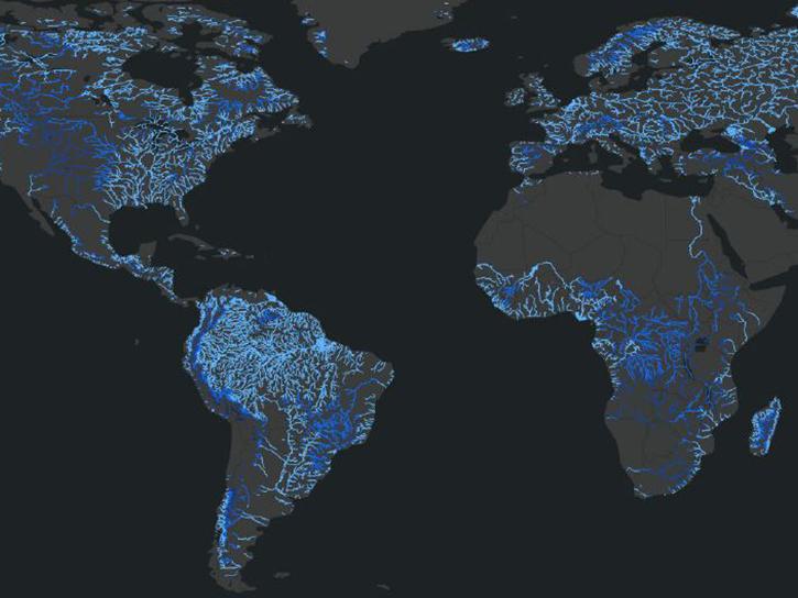
The Water Information from Space (WISP) dashboard displays real-time satellite hydrology data and streamflow and water level data from the United States Geological Survey (USGS) and NASA's Surface Water Ocean Topography (SWOT) platform. WISP efficiently harmonizes SWOT data of rivers and lakes with nearby USGS gage data, allowing end users to compare satellite-based data to nearby ground monitoring data.

SWOT timeseries data have been downloaded using the Hydrocron API developed by NASA's Physical Oceanography Distributed Active Archive Center (PO.DAAC).
 

Tool at a Glance

Data Tool Type

Monitoring Natural Events
Visualization

WISP News

Filters
The Water Information from SPace (WISP) dashboard brings together data from NASA’s SWOT satellite and USGS streamgages in a user-friendly application.
Blog
July 30, 2025
SHOWING 2 OF 2

WISP Learning Resources

Filters
SHOWING 1 OF 1

Join Our Community of NASA Data Users

While NASA data are openly available without restriction, an Earthdata Login is required to download data and to use some tools with full functionality.

Learn About the Benefits of Earthdata Login

Get Help

QUESTIONS & SUPPORT

Have a question?

Get help with NASA Earth science data, datasets, tools, services, and metadata on the Earthdata Forum. Experienced staff in the data user community review and answer questions.

Get help on Earthdata Forum
Earthdata
Forum