| Study Dates | May 20, 1997 - May 30, 1997 |
|---|---|
| Season of Study | Boreal spring |
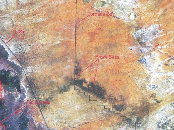
| Region | Jornada Experimental Range near Las Cruces, NM |
| Spatial Bounds | N: 35°N S: 30°N W: 107°W E: 103°W |
| Focus Areas | Earth Surface and Interior |
| Geophysical Concepts | Radiation and Energy Budget Land Characteristics |
| Scientific Topics | Arid Land Surface Reflectance Albedo Leaf Area Index Surface Temperature Canopy Structure Radiation Canopy Properties Land Cover Satellite Validation |
PROVE
Prototype Validation Exercise
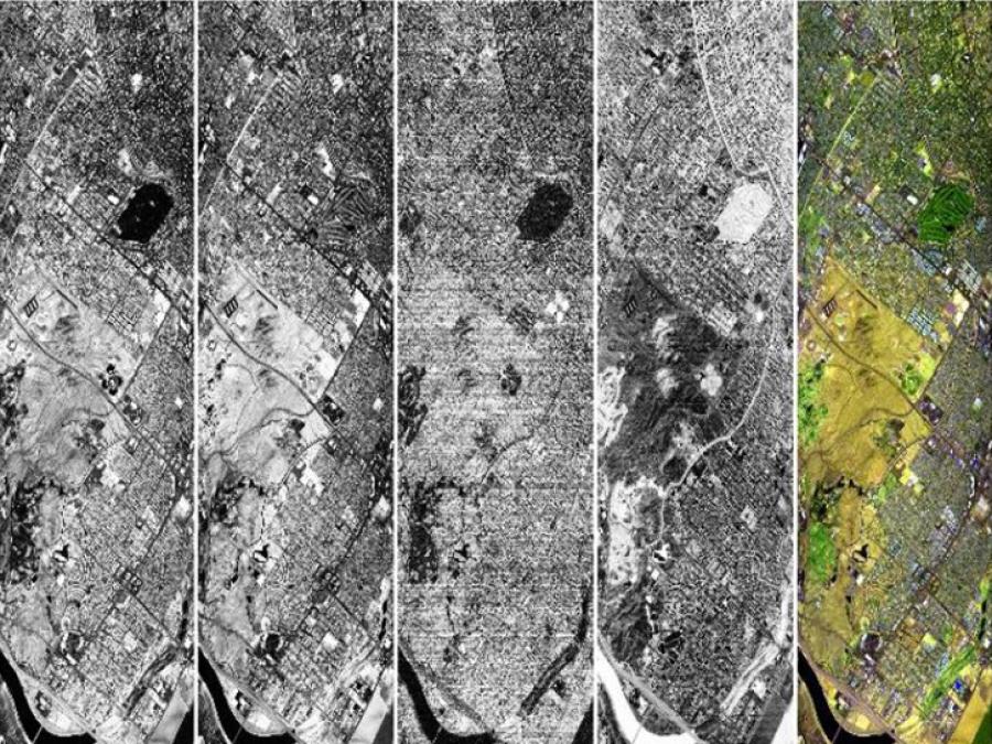
The Prototype Validation Exercise (PROVE) was a mini field campaign conducted in May 1997. Three different teams tested instruments that would eventually become part of NASA's Earth Observing System (EOS): the Moderate Resolution Imaging Spectroradiometer (MODIS), the Multi-Angle Imaging SpectroRadiometer (MISR), and the Advanced Spaceborne Thermal Emission and Reflection Radiometer (ASTER).
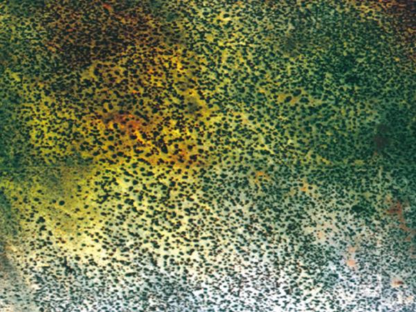
PROVE consisted of coordinated field, aircraft, and satellite measurements that were designed to maximize data collection and conduct cross comparisons. The 1997 campaign was conducted in a grassland-shrub site on the Jornada Experimental Range near Las Cruces, New Mexico.
Data
4 Datasets
Principal Investigator
Jeff Privette
Partners
Data Centers
ORNL DAAC
Funding Programs
EOS Project Office, Terrestrial Ecology Program