We are in the process of migrating all NASA Earth science data sites into Earthdata from now until end of 2026. Not all NASA Earth science data and resources will appear here until then. Thank you for your patience as we make this transition.
Read about the Web Unification Project
GEDI News
Read the latest news about the Global Ecosystem Dynamics Investigation (GEDI) project.
News
Filters
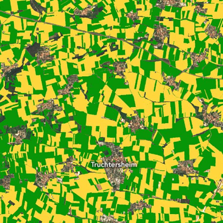
New research uses 3D lidar profiles of Earth's surface to map where corn is being grown.
Feature Article
May 18, 2022
New dataset provides the first high-resolution 3D aboveground biomass density estimates for tropical and temperate forests around the globe.
Feature Article
Jan. 25, 2022

Find EOSDIS dataset and data tool news, top stories, featured data images, webinars, links to new learning resources, data recipes, and Data User Profiles.
News
July 2, 2021
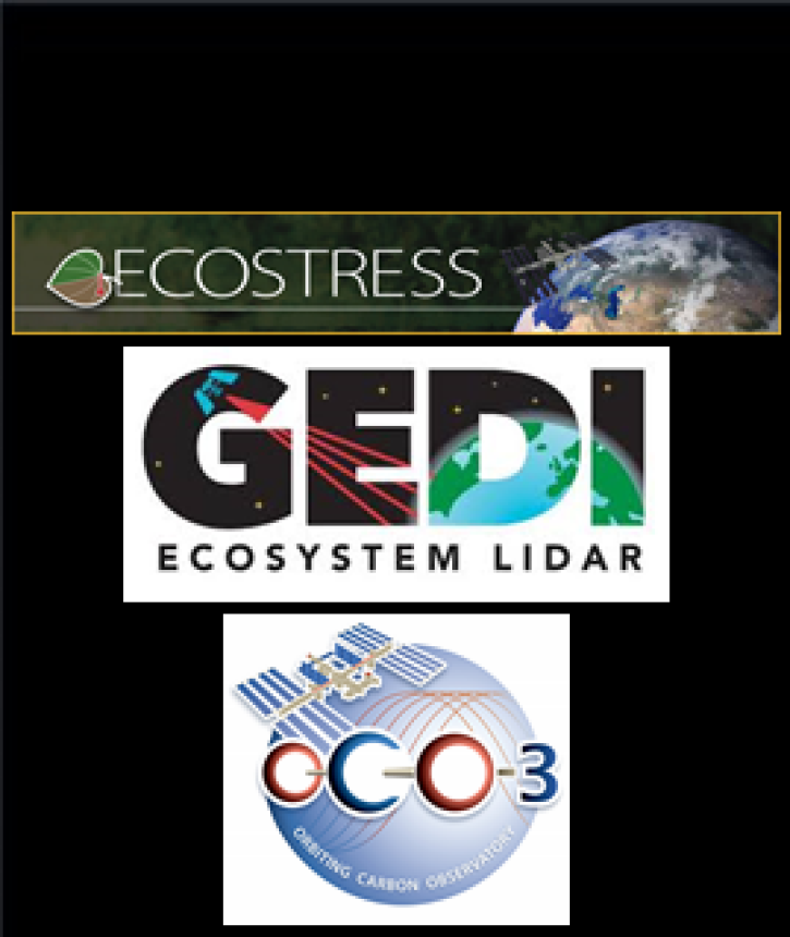
The ECOSTRESS, GEDI, and OCO-3 Earth observing missions aboard the International Space Station (ISS) will help scientists better understand Earth systems.
Feature Article
April 22, 2021

Who uses NASA Earth science data? Dr. Nancy Glenn, to study dryland ecosystems.
Data User Story
April 22, 2021

The ability for Synthetic Aperture Radar (SAR) to create high-resolution imagery regardless of atmospheric conditions makes it a key technology for studies of change over time. Dr. Paul Siqueira’s work improves these sensors and the Earth observing data they collect.
Data User Story
April 22, 2021
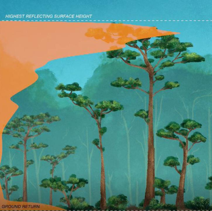
Data from NASA’s Global Ecosystem Dynamics Investigation (GEDI) mission are adding to our understanding of carbon cycling and the structure and development of global biomes.
Feature Article
April 21, 2021

ORNL DAAC has released a new Level 3 data product from the Global Ecosystem Dynamics Investigation (GEDI) mission offering gridded estimates of canopy height and ground elevation.
News
April 20, 2021
SHOWING 8 OF 21