We are in the process of migrating all NASA Earth science data sites into Earthdata from now until end of 2026. Not all NASA Earth science data and resources will appear here until then. Thank you for your patience as we make this transition.
Read about the Web Unification Project
ALOS PALSAR RTC Project Learning Resources
Webinars, tutorials, data recipes and more to help you work with ALOS PALSAR RTC Project.
Learn
Filters
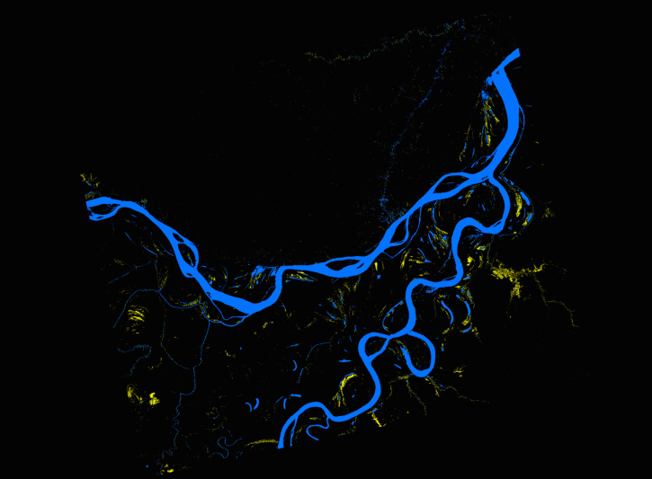
This data recipe describes methods used to create an inundation animation from PALSAR RTC and map that quantifies the number of events from the data.
Data Recipe
Oct. 2, 2024

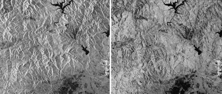
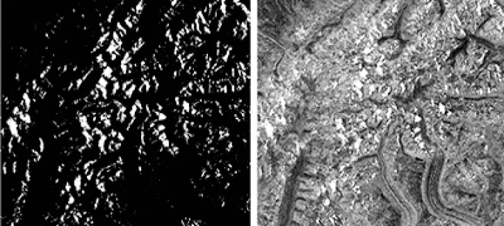
The log-ratio scaling method is an effective approach for change detection in SAR imagery, suppressing background noise and enhancing change features.
Data Recipe
Oct. 2, 2017
This data recipe guides users to terrain correct CEOS-formatted data granules for legacy platforms.
Data Recipe
Oct. 18, 2016
This data recipe walks users through viewing Radiometrically Terrain-Corrected (RTC) images in ArcGIS.
Data Recipe
Oct. 18, 2016
SHOWING 4 OF 4