We are in the process of migrating all NASA Earth science data sites into Earthdata from now until end of 2026. Not all NASA Earth science data and resources will appear here until then. Thank you for your patience as we make this transition.
Read about the Web Unification Project
Terra Resources
Terra Learning Resources

Learn how to use Moderate Resolution Imaging Spectroradiometer (MODIS) Version 6 Land Surface Temperature data, and access details about its scale factors, visualization, and related resources.
Tutorial
April 10, 2017

Learn how to interpret and utilize quality information within Moderate Resolution Imaging Spectroradiometer (MODIS) Thermal Anomalies and Fire data.
Tutorial
April 5, 2017

Learn how to use Moderate Resolution Imaging Spectroradiometer (MODIS) Thermal Anomalies and Fire data, interpret fire masks, and visualize data.
Tutorial
April 5, 2017

Learn how to access Moderate Resolution Imaging Spectroradiometer (MODIS) Thermal Anomalies and Fire data via Earthdata Search, covering product details and download steps.
Tutorial
April 5, 2017

The West Africa Atlas uses ASTER data, aerial imagery, and ground images to illustrate changes and responses to environmental challenges in 17 countries.
Data in Action
March 1, 2017

Satellite data from NASA's MODIS instrument illustrates the relationship between snow cover and temperature and the viability of skiing conditions over time.
Data in Action
Feb. 2, 2017

Learn about Moderate Resolution Imaging Spectroradiometer (MODIS) Version 6 Surface Reflectance data, including band combinations and data values.
Tutorial
Jan. 23, 2017

Learn to interpret Moderate Resolution Imaging Spectroradiometer (MODIS) Surface Reflectance data quality via Quality Assurance bits, tools, and resources.
Tutorial
Jan. 23, 2017
SHOWING 8 OF 231
Terra News
View All News
Filters
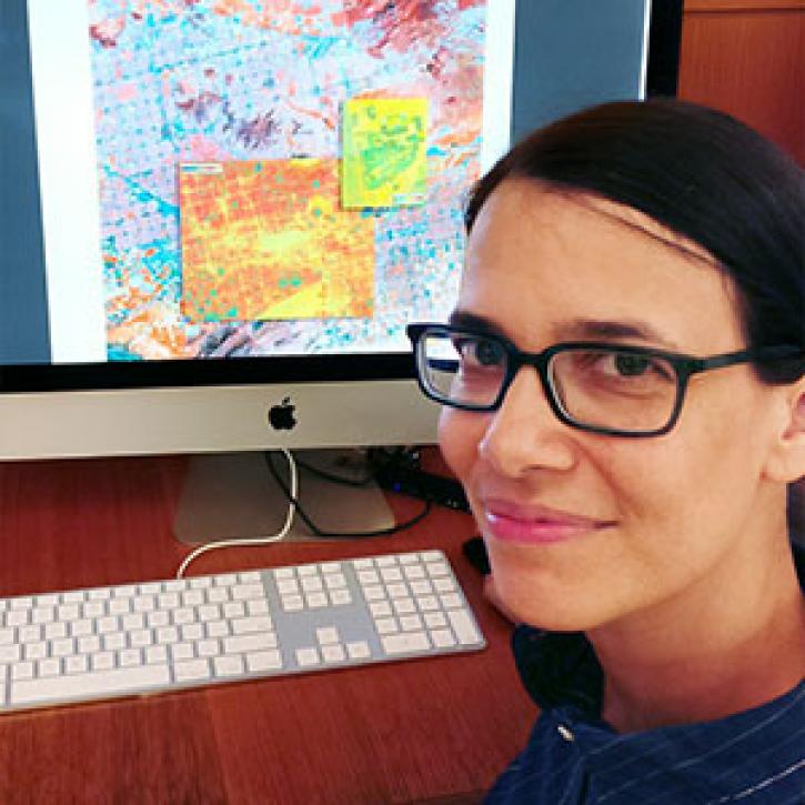
Who uses NASA Earth science data? Dr. Bridget Seegers, for developing new ways to study water quality and track harmful algal blooms.
Data User Story
April 22, 2021
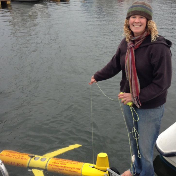
Who uses NASA Earth science data? Lela Prashad, for exploring how people live in and experience urban environments.
Data User Story
April 22, 2021

For the people of Asia and Southeast Asia, water is integral to their livelihood. Dr. Hossain uses NASA Earth observing data to improve water management and accelerate economic development in these regions.
Data User Story
April 22, 2021

Who uses NASA Earth science data? Dr. Rachel Albrecht, to pinpoint global lightning hotspots.
Data User Story
April 20, 2021

Image captured on 29 November 2020, by the MODIS instrument, aboard the Terra satellite.
Worldview Image of the Week
April 19, 2021

Who Uses NASA Earth Science Data? Dr. Greg Jenkins, to study weather, climate, atmospheric chemistry, and air quality of West Africa.
Data User Story
April 19, 2021
Weather forecasters improve short-term predictions using data from NASA's Earth Observing System satellites.
Feature Article
April 19, 2021

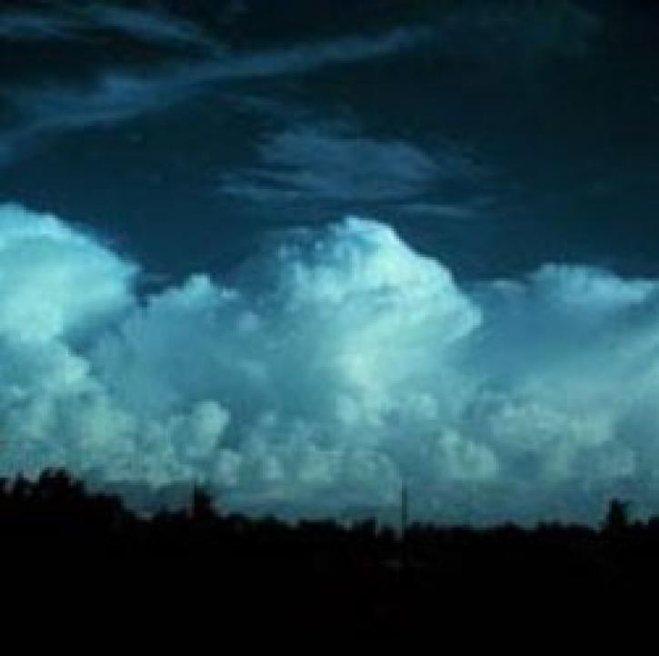
A unique campaign allows scientists to study the effects of Saharan dust storms on Atlantic hurricane development.
Feature Article
April 19, 2021
SHOWING 8 OF 449
Frequently Asked Questions
Earthdata Forum
Our online forum provides a space for users to browse thousands of FAQs about research needs, data, and data applications. You can also submit new questions for our experts to answer.
Submit Questions to Earthdata Forumand View Expert Responses