We are in the process of migrating all NASA Earth science data sites into Earthdata from now until end of 2026. Not all NASA Earth science data and resources will appear here until then. Thank you for your patience as we make this transition.
Read about the Web Unification Project
Terra Resources
Terra Documents
| Name Sort descending | Description | File Type | Date Published | |
|---|---|---|---|---|
| MODIS Terra/Aqua | MODIS Terra/Aqua | PDF (155.7 kb) | April 19, 2004 | |
| Multi-angle Imaging SpectroRadiometer (MISR) Overview | PDF (149.95 kb) | Feb. 24, 2021 | ||
| NASA Support for MODIS Direct Broadcast:Level-0 to Standard Ocean Products (PDF) | NASA Support for MODIS Direct Broadcast:Level-0 to Standard Ocean Products (PDF) | PDF (4.3 mb) | Oct. 3, 2005 | |
| NASA Support for MODIS Direct Broadcast:Level-0 to Standard Ocean Products (PPT) | NASA Support for MODIS Direct Broadcast:Level-0 to Standard Ocean Products (PPT) | PPT (4.62 mb) | Jan. 21, 2005 | |
| NASA/TM–2003–206892, Vol. 27 | NASA/TM–2003–206892, Vol. 27 | PDF (1.71 mb) | Oct. 14, 2003 | |
| observing_concept | Diagram showing terra space craft and misr observing concept. | PDF (241.22 kb) | May 22, 2005 | |
| Overview of MISR Data at the ASDC | General overview of MISR data hosted at the ASDC, including description of data products, and display and visualization tools. | PDF (227.41 kb) | Aug. 9, 2024 | |
| release_desc_l2as_v2.1.4.pdf | Algorithm changes, bug fixes, aerosol product changes, and science config file changes for level 2 misr aerosol | PDF (514.87 kb) | Sept. 27, 2001 | |
| Statement Concerning Quality of the MISR Ancillary Geographic Product September 19, 2000 | Here is a description of the **Statement_Quality_MISR_Ancillary_Geographic_09192000.pdf** document: This document is a Quality Statement for the MISR Ancillary Geographic Product (AGP), dated September 19, 2000, covering version F01_24. The AGP is a set of 233 pre-computed static files—one per Terra orbital path—that provide essential geographical data used as input by MISR production software to generate higher-level MISR products. The product contains eleven data fields organized into four groups: geographical locations (latitude/longitude), elevation data at both 1.1 km and 17.6 km resolution, surface orientation data (azimuth and zenith angles), and land/water identification—all defined on a Space Oblique Mercator (SOM) map projection grid. The statement assesses the quality of each data group, noting that most fields directly reflect the quality of their input datasets (including DTED, DCW Hypsography, ETOPO5, and World Vector Shoreline), though some resampling-related quality reductions were identified, particularly in regions with high relief, and the standard deviation of mean surface slope was flagged as unreliable. |
PDF (68.07 kb) | Sept. 19, 2000 | |
| User Guide: The MISR Enhanced Research and Lookup Interface (MERLIN) | The MERLIN_User_Guide.pdf is a user guide produced by JPL for the MISR Enhanced Research and Lookup Interface (MERLIN), a web-based tool that allows users to filter, visualize, and download data from the MISR Plume Height Project database using interactive map views, scatter plots, pie charts, and histograms with customizable options for parameters such as plume height, fire radiative power, aerosol optical depth, and single scattering albedo. | PDF (7.76 mb) | Jan. 6, 2022 |
Terra Learning Resources
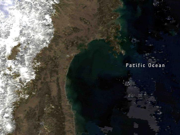
Explore how satellite data helped assess rice crop recovery after the 2011 Japan tsunami, analyze sand dune structures in Namibia, and link groundwater levels to vegetation in China’s arid regions.
Data in Action
Feb. 10, 2016
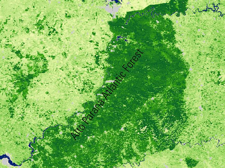
See how MODIS Leaf Area Index data are used to complement in situ data to evaluate seasonal changes in the relationship between canopy cover and photosynthesis.
Data in Action
Jan. 27, 2016
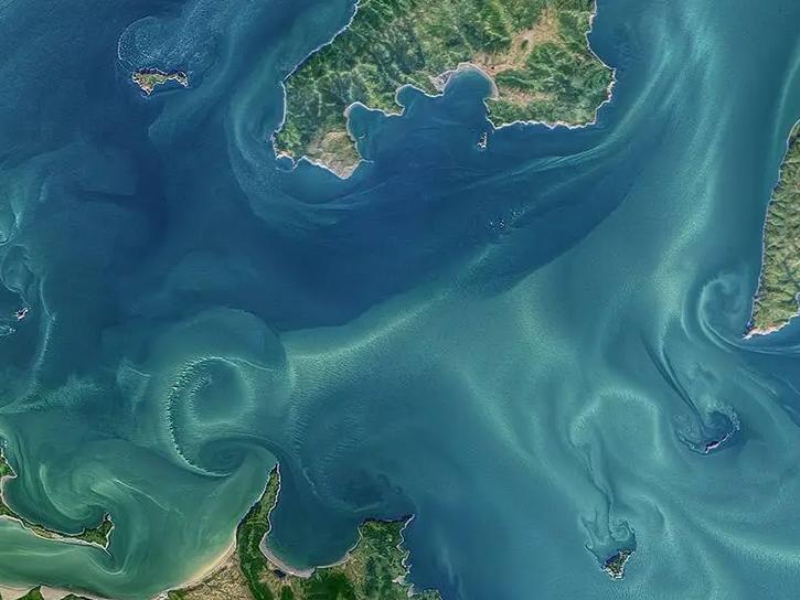
Waves and Satellites: Effect of El Niño on Big Wave Surfing
Data in Action
Jan. 25, 2016
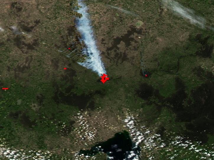
Emergency teams use MODIS data to monitor the locations and sizes of wildfires, observe fire patterns and durations, and track burn scars to help prevent, manage, and predict fires.
Data in Action
Nov. 25, 2015
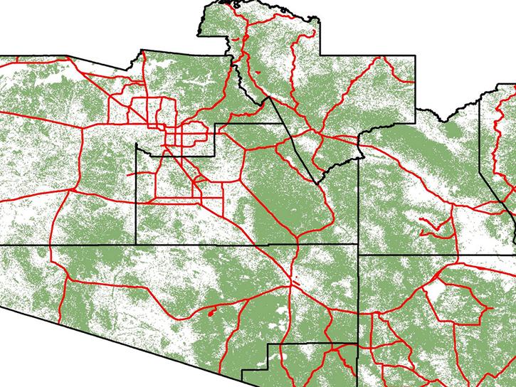
NASA DEVELOP teams used MODIS and ASTER data to address wildfire impacts, flooding risks, and wildlife conservation through remote sensing.
Data in Action
Nov. 18, 2015
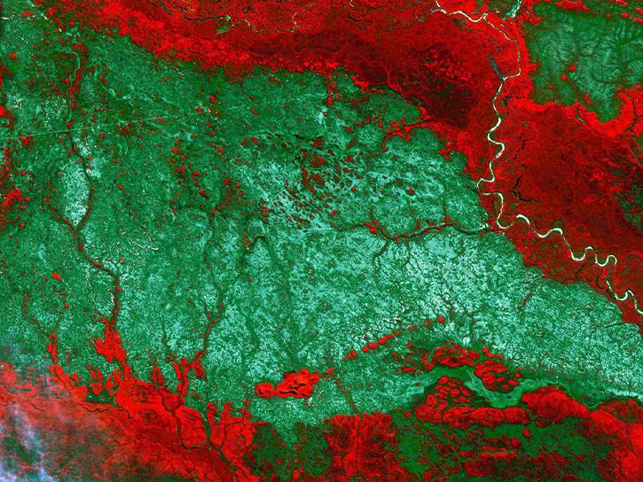
Discover how NASA data support amphibian habitat mapping, classification of Amazonian wetland vegetation, and flood regime monitoring in Botswana’s Okavango Delta.
Data in Action
Oct. 28, 2015

Learn how MODIS data were used to update the 1992 Montana Climate Atlas to better understand the state's climate and how it relates to resources and industries.
Data in Action
Oct. 21, 2015
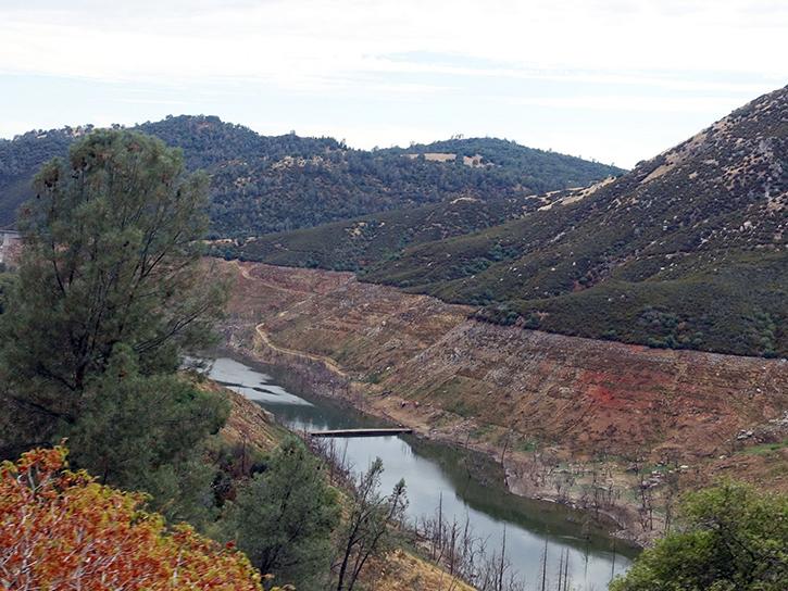
Discover how MODIS data help track changes in snow water equivalents in the Sierra Nevada Mountains to help forecast drought in California.
Data in Action
Sept. 30, 2015
SHOWING 8 OF 239
Terra News
View All News
Filters

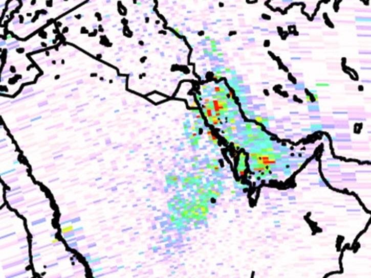
The new data products from the MOPITT instrument will offer enhanced data quality for vertical column densities of carbon monoxide in the troposphere.
Feature Article
Aug. 12, 2025
A summary of datasets, products, and resources released by NASA’s Distributed Active Archive Centers (DAACs) in June 2025.
News
July 18, 2025

Join NASA’s LAADS DAAC to learn how new tools available through Harmony services help users work with Level-1 and atmospheric datasets more efficiently.
Webinar
July 16, 2025
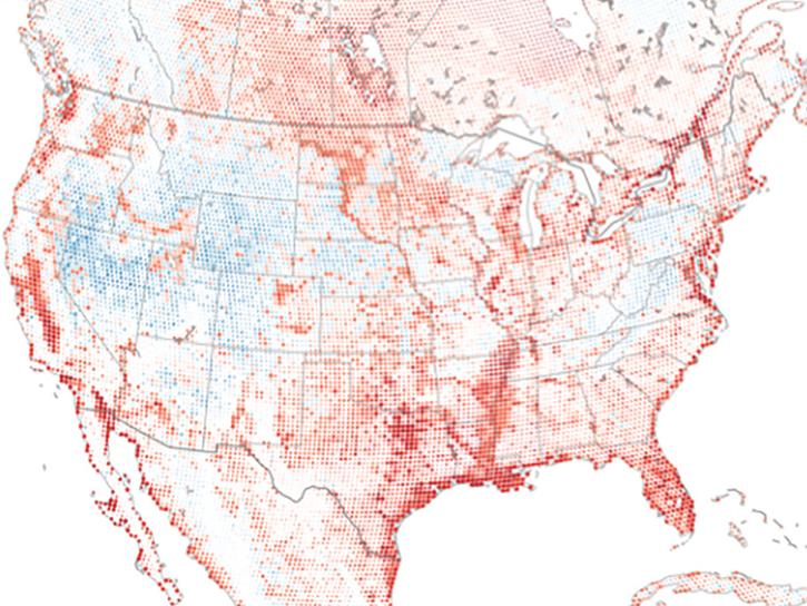
Researchers from Cornell's eBird project used observations from amateur birdwatchers and NASA data to better understand the decline in avian populations throughout North America.
News
June 17, 2025
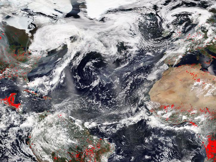
FIRMS was used to track the spread of smoke plumes during the Canadian wildland fires in June 2025.
Blog
June 17, 2025
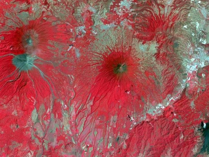
A summary of datasets, products, and resources released by NASA’s Distributed Active Archive Centers (DAACs) in May 2025.
News
June 12, 2025
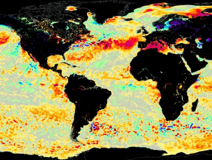
Image for June 8, 2025, from the GHRSST sea surface temperature analysis.
Worldview Image of the Week
June 9, 2025
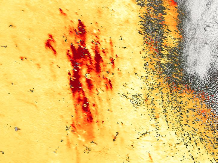
Annual prescribed burns are crucial for improving and maintaining pasture and crop land health, and remote sensing data provides near real-time information on location and air quality.
News
June 6, 2025
SHOWING 8 OF 454
Frequently Asked Questions
Earthdata Forum
Our online forum provides a space for users to browse thousands of FAQs about research needs, data, and data applications. You can also submit new questions for our experts to answer.
Submit Questions to Earthdata Forumand View Expert Responses