Introduction
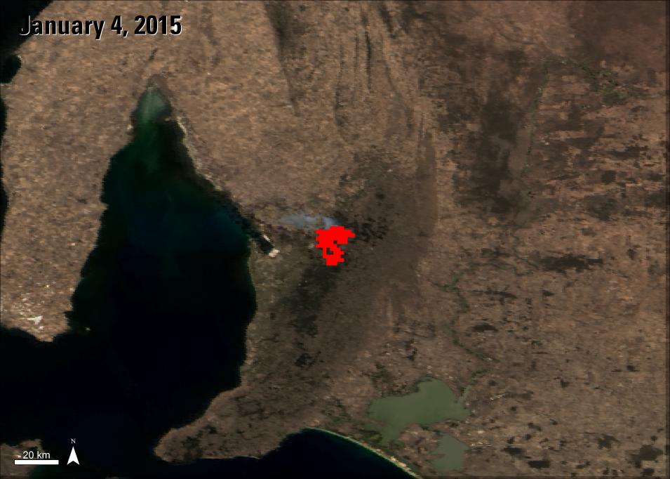
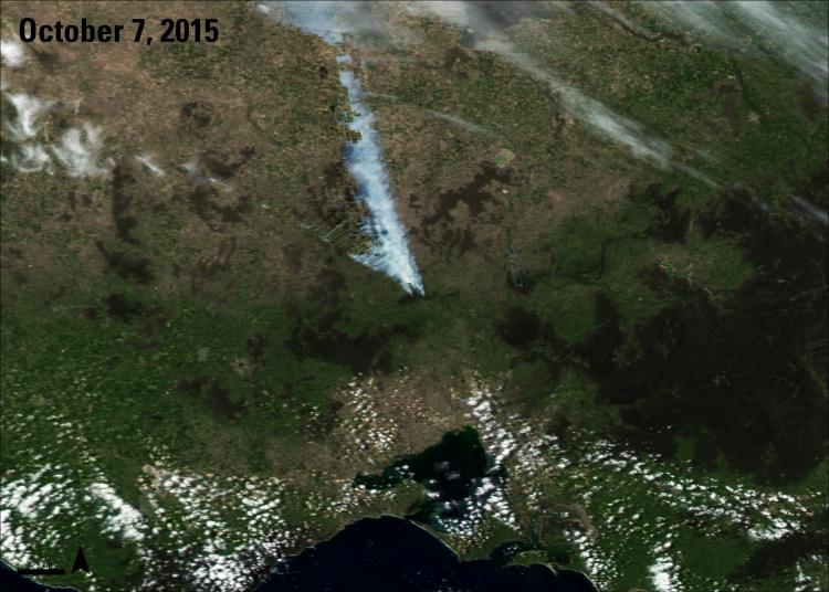
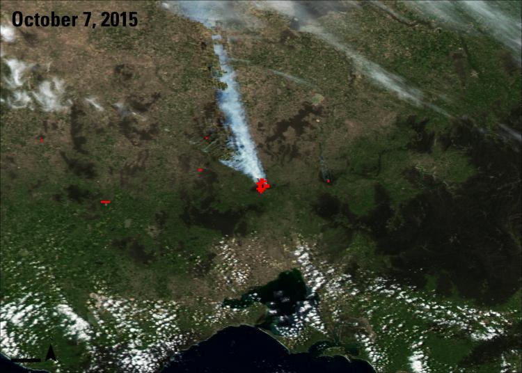
Using satellite imagery, emergency teams can observe fire patterns, durations, and burn scars in an area to help prevent, manage, and predict fires. The Land Processes Distributed Active Archive Center (LP DAAC) distributes several Aqua and Terra Moderate Resolution Imaging Spectroradiometer (MODIS) products that can aid in the identification of fires.
Instruments and Techniques Used
The MODIS Thermal Anomalies and Fire (MOD/MYD14) data products highlight active fires in an area. One of the products provides locations of daily fires (MOD14A1), and another provides a composite of fires that occurred in the region within an 8 day period (MOD14A2). These products can be useful in monitoring the location and size of wildfires, track where fires have spread, and even help predict where they could spread. These products, along with a monthly product that shows burned areas (MCD45A1), can assist in surveying past and current fires in an area.


