Delivery of Suomi National Polar-orbiting Partnership (Suomi NPP) satellite data products will cease on November 1, 2026. Data users should transition now to alternative products from NOAA-21 and NOAA-20.
Suomi NPP data announcement
QuikSCAT Resources
QuikSCAT Learning Resources
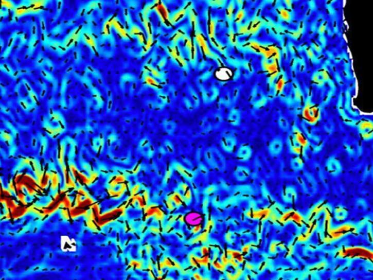
NASA's OSCAR data were used to analyze ocean currents to track debris fields for Malaysian Airlines flight 370.
Data in Action
April 4, 2014

NASA satellites and instruments provide global wave height observations and ocean vector winds on a daily basis.
Data in Action
Jan. 14, 2014
SHOWING 2 OF 2
QuikSCAT News
View All News
Filters
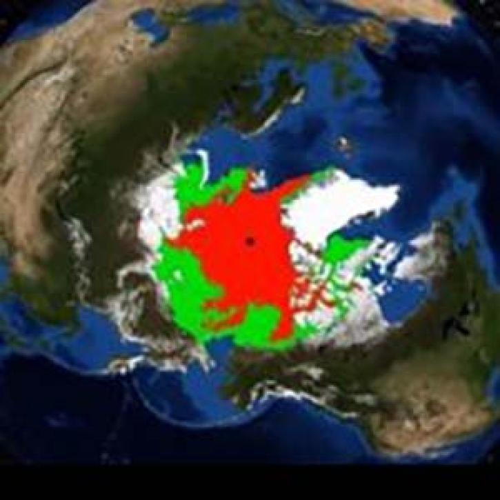
A new animation created from SeaWinds scatterometer data shows changes in Arctic sea ice age between 2002 and 2009.
News
Nov. 4, 2020
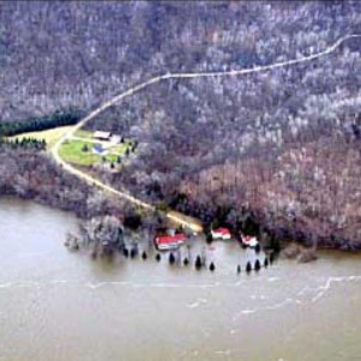
A new long-term archive of satellite data will help hydrologists monitor floods, allow aid agencies to pinpoint flood-prone regions, and provide information for modeling Earth's complex hydrologic cycles.
Feature Article
July 28, 2020
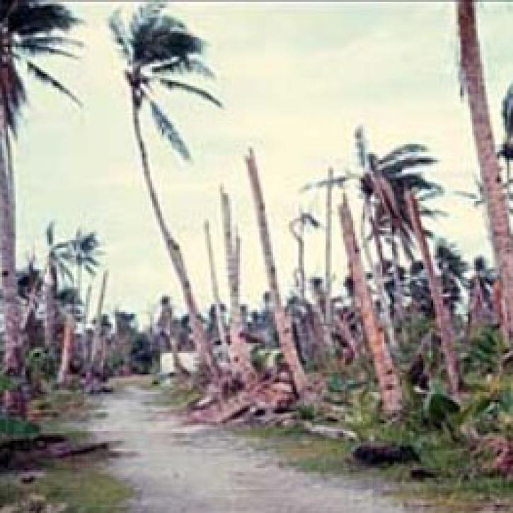
Using data from three satellite instruments, researchers find that a tropical cyclone had a significant effect on phytoplankton production in the South China Sea.
Feature Article
July 28, 2020

QuikSCAT provides a complete view of continental ice sheets on Greenland.
Feature Article
July 22, 2020
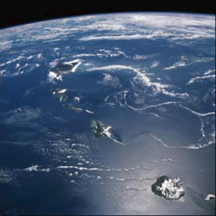
QuikSCAT and TOPEX help scientists notice the long wake near Hawaii.
Feature Article
July 22, 2020
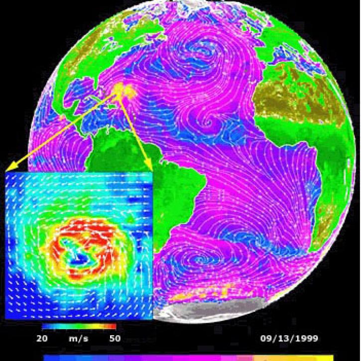
Data from NASA satellites allow researchers to detect potential hurricanes up to two days earlier than with traditional forecasting methods.
Feature Article
July 22, 2020
SHOWING 6 OF 14
Get Help
QUESTIONS & SUPPORT
Have a question?
Get help with NASA Earth science data, datasets, tools, services, and metadata on the Earthdata Forum. Experienced staff in the data user community review and answer questions.
Get help on Earthdata ForumEarthdata
Forum
Forum